
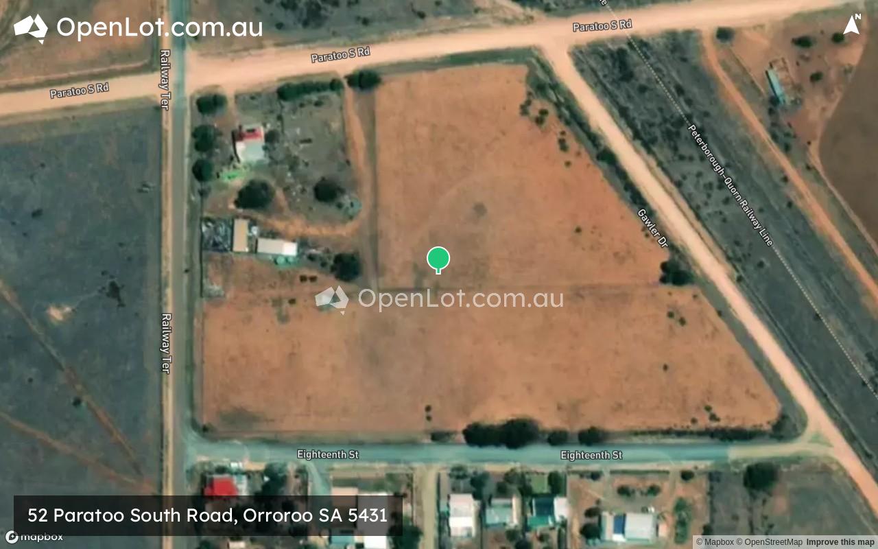
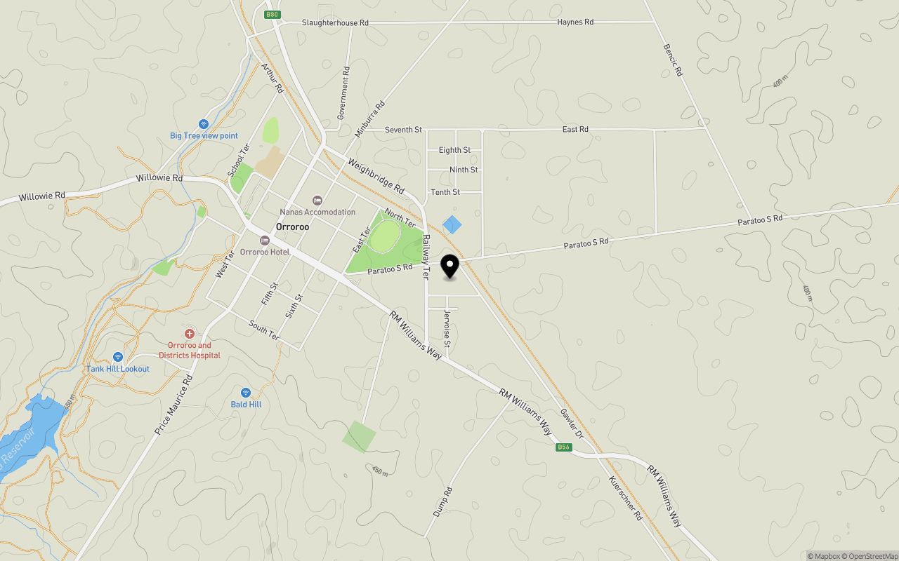
Location & Map for 52 Paratoo South Road, Orroroo SA 5431
Schools near 52 Paratoo South Road, Orroroo SA 5431
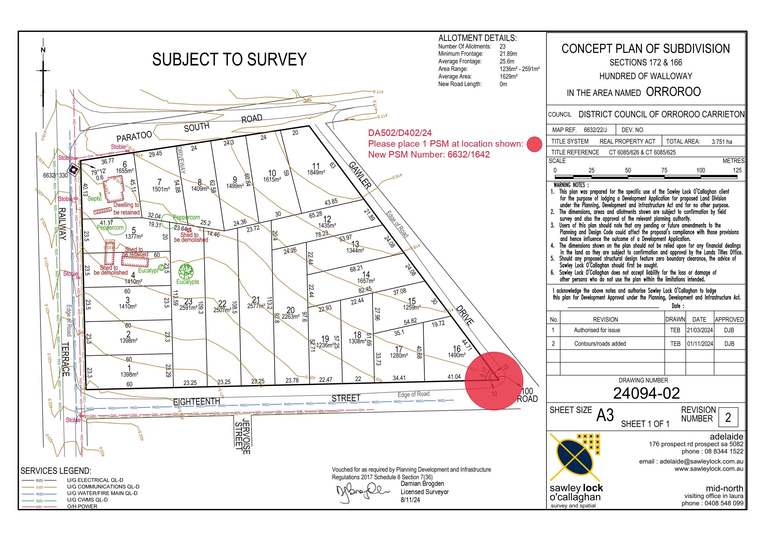
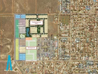
Overview
This information is estimated by the OpenLot research team. Let us know here to provide up-to-date information about this development.
| Total new homes | |
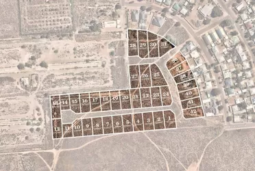
| Area Size | 3.53 hectares |
| City Council | District Council of Orroroo Carrieton |
| Developer | N/A |
Popular Estates near 52 Paratoo South Road, Orroroo


Not exactly what you're looking for? Try surrounding suburbs
Port Augusta SA 5700
1 estate | Port Augusta City Council
87.9km west
Stirling North SA 5710
1 estate | Port Augusta City Council
81.2km west
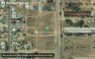
Port Pirie South SA 5540
1 estate | Port Pirie Regional Council
84.3km south-west
Risdon Park SA 5540
4 estates | Port Pirie Regional Council
87.3km south-west
Wilmington SA 5485
1 estate | District Council of Mount Remarkable
51.9km west
Jamestown SA 5491
1 estate | Northern Areas Council
53.1km south
Latest published articles


FAQs about 52 Paratoo South Road, Orroroo SA 5431
52 Paratoo South Road, Orroroo SA 5431 consists of 23 homes.
The total area for 52 Paratoo South Road, Orroroo SA 5431 is 3.53 hectares.
52 Paratoo South Road, Orroroo SA 5431 falls under District Council of Orroroo Carrieton.
Nearby schools for 52 Paratoo South Road, Orroroo SA 5431:
- Orroroo Area School - 1.3km north-west
- Booleroo Centre District School - 30.0km south-west
- Peterborough Primary School - 32.7km south-east
- Peterborough High School - 33.6km south-east
- St Joseph's School - 33.6km south-east
- Melrose Primary School - 41.8km west