
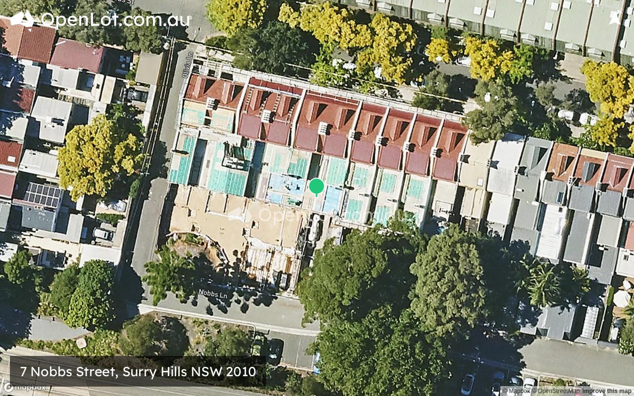
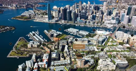
Location & Map for 7 Nobbs Street, Surry Hills NSW 2010

Schools near 7 Nobbs Street, Surry Hills NSW 2010
Overview
This information is estimated by the OpenLot research team. Let us know here to provide up-to-date information about this development.
| Total new homes | |
| Area Size | 0.18 hectares |
| City Council | City of Sydney |
| Developer | N/A |
| Distance to |
Updates for 7 Nobbs Street, Surry Hills
Popular Estates near 7 Nobbs Street, Surry Hills
Not exactly what you're looking for? Try surrounding suburbs
Glebe NSW 2037
1 estate | City of Sydney
3.0km west
Alexandria NSW 2015
2 estates | City of Sydney
3.6km south-west
Zetland NSW 2017
1 estate | City of Sydney
2.9km south
Pyrmont NSW 2009
2 estates | City of Sydney
2.6km north-west
Woollahra NSW 2025
1 estate | Woollahra Municipal Council
2.6km east
Darlinghurst NSW 2010
1 estate | City of Sydney
625m north-east
Latest published articles


FAQs about 7 Nobbs Street, Surry Hills NSW 2010
7 Nobbs Street, Surry Hills NSW 2010 consists of 10 homes.
The total area for 7 Nobbs Street, Surry Hills NSW 2010 is 0.18 hectares.
7 Nobbs Street, Surry Hills NSW 2010 falls under City of Sydney.
7 Nobbs Street, Surry Hills NSW 2010 is 3 km south-east of Sydney CBD.
Nearby schools for 7 Nobbs Street, Surry Hills NSW 2010:
- Bourke Street Public School - 128m south
- Sydney Boys High School - 435m south-east
- Sydney Distance Education Primary School - 455m north-west
- Oasis College Surry Hills - 537m north
- Sydney Girls High School - 675m south-east
- Crown Street Public School - 797m north