
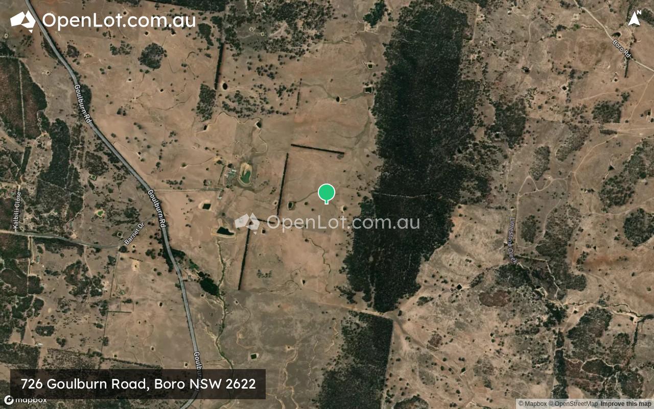
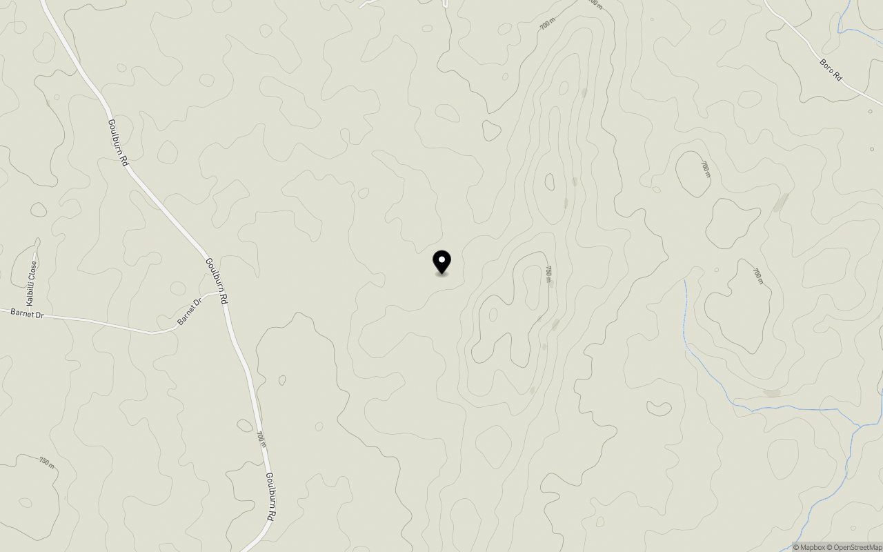
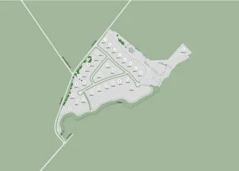
Location & Map for 726 Goulburn Road, Boro NSW 2622
Schools near 726 Goulburn Road, Boro NSW 2622
Overview
This information is estimated by the OpenLot research team. Let us know here to provide up-to-date information about this development.
| Total new homes | |
| Area Size | 593.85 hectares |
| Growth Region | Canberra Growth Regions |
| City Council | Queanbeyan-Palerang Regional Council |
| Developer | N/A |
| Distance to |
Popular Estates near 726 Goulburn Road, Boro


Not exactly what you're looking for? Try surrounding suburbs
Braidwood NSW 2622
3 estates | Queanbeyan-Palerang Regional Council
26.2km south
Sutton NSW 2620
3 estates | Yass Valley Council
45.0km west
Bywong NSW 2621
1 estate | Queanbeyan-Palerang Regional Council
37.1km west
Wamboin NSW 2620
1 estate | Queanbeyan-Palerang Regional Council
33.7km west
Carwoola NSW 2620
1 estate | Queanbeyan-Palerang Regional Council
38.8km south-west
Bungonia NSW 2580
1 estate | Goulburn Mulwaree Council
42.5km north-east
Latest published articles


FAQs about 726 Goulburn Road, Boro NSW 2622
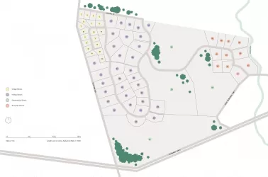
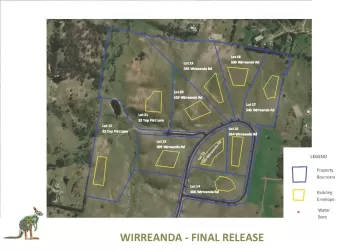
726 Goulburn Road, Boro NSW 2622 consists of 15 homes.
The total area for 726 Goulburn Road, Boro NSW 2622 is 593.85 hectares.
726 Goulburn Road, Boro NSW 2622 falls under Queanbeyan-Palerang Regional Council.
726 Goulburn Road, Boro NSW 2622 is 52 km east of Canberra CBD.
Nearby schools for 726 Goulburn Road, Boro NSW 2622:
- Tarago Public School - 13.6km north
- Bungendore High School - 22.8km west
- Bungendore Public School - 22.9km west
- Windellama Public School - 24.0km north-east
- Braidwood Central School - 30.1km south
- St Bede's Primary School - 30.2km south