
Property types for sale
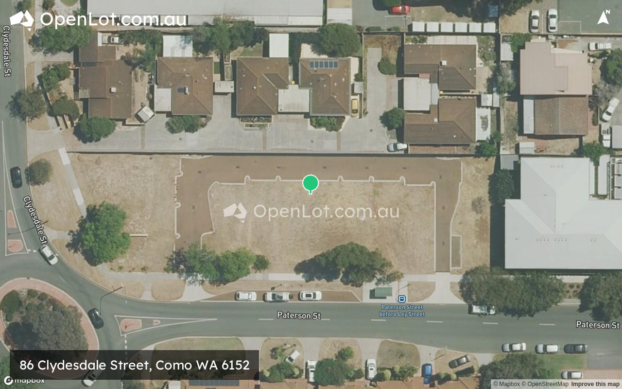
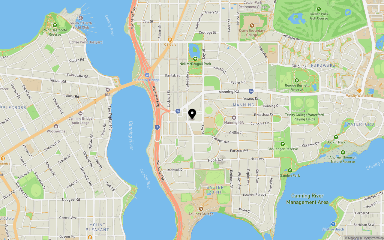
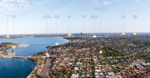
Location & Map for 86 Clydesdale Street, Como WA 6152
Schools near 86 Clydesdale Street, Como WA 6152
86 Clydesdale Street, Como WA 6152 Video
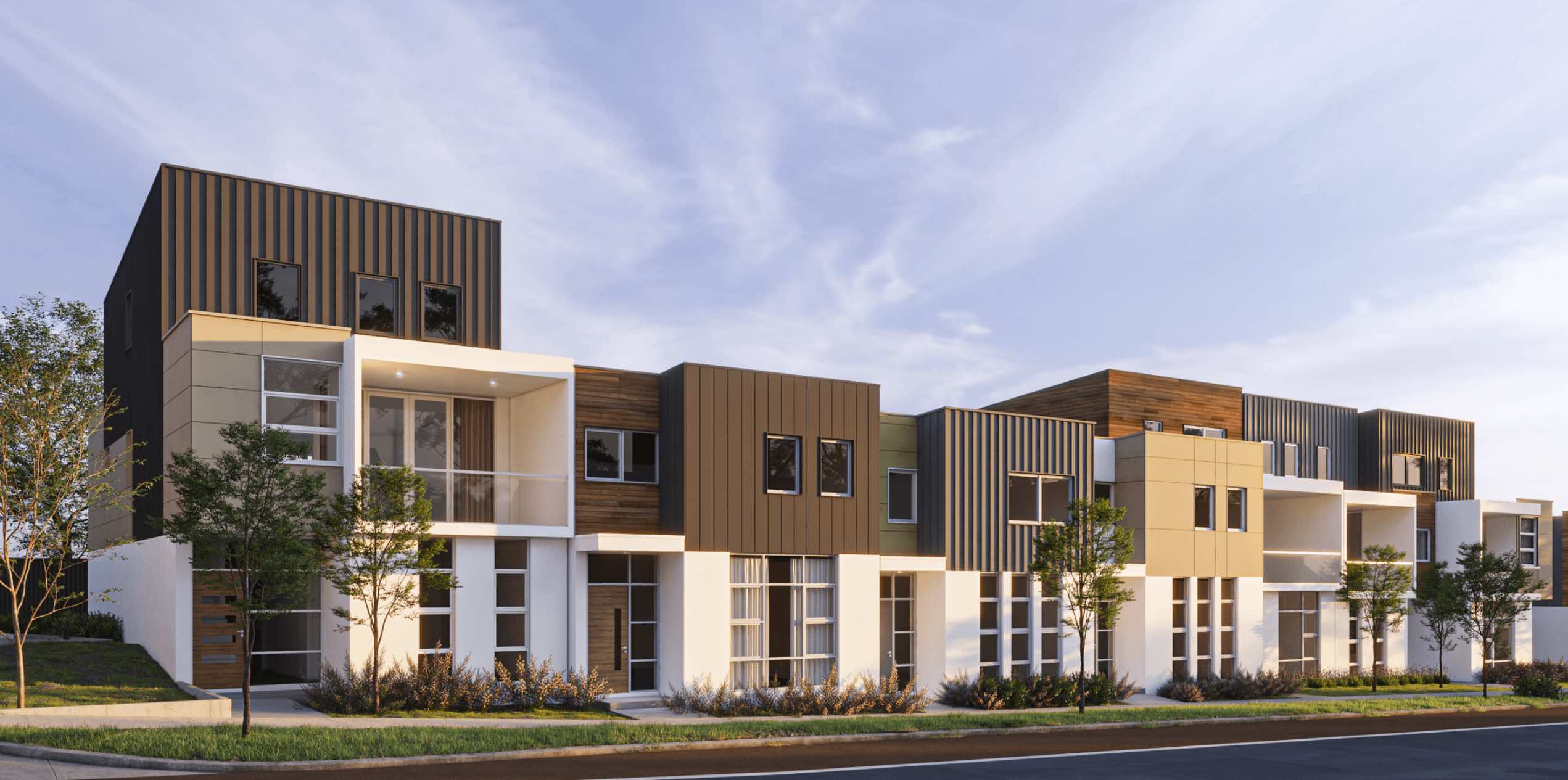
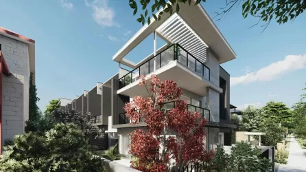
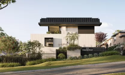
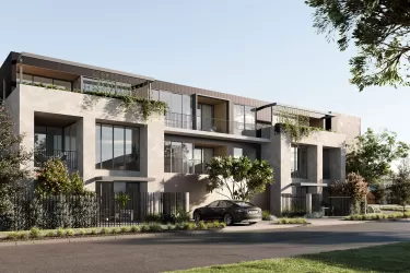
Overview
This information is estimated by the OpenLot research team. Let us know here to provide up-to-date information about this development.
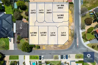
| Total new homes | |
| Area Size | 0.20 hectares |
| Growth Region | Perth South East Growth Areas |
| City Council | City of South Perth |
| Developer | N/A |
Updates for 86 Clydesdale Street, Como
Popular Estates near 86 Clydesdale Street, Como


Not exactly what you're looking for? Try surrounding suburbs
Victoria Park WA 6100
1 estate | Town of Victoria Park
3.6km north-east
Waterford WA 6152
2 estates | City of South Perth
2.2km south-east
Salter Point WA 6152
1 estate | City of South Perth
2.5km south
East Victoria Park WA 6101
2 estates | Town of Victoria Park
3.5km north-east
Applecross WA 6153
1 estate | City of Melville
3.2km west
Kensington WA 6151
1 estate | City of South Perth
2.5km north-east
Latest published articles


FAQs about 86 Clydesdale Street, Como WA 6152
86 Clydesdale Street, Como WA 6152 consists of 12 homes.
The total area for 86 Clydesdale Street, Como WA 6152 is 0.20 hectares.
86 Clydesdale Street, Como WA 6152 falls under City of South Perth.
Nearby schools for 86 Clydesdale Street, Como WA 6152:
- Manning Primary School - 195m east
- St Pius X Catholic School - 214m south-east
- Aquinas College - 1.0km south
- Curtin Primary School - 1.3km north-east
- Como Secondary College - 1.5km north-east
- Como Primary School - 2.0km north