
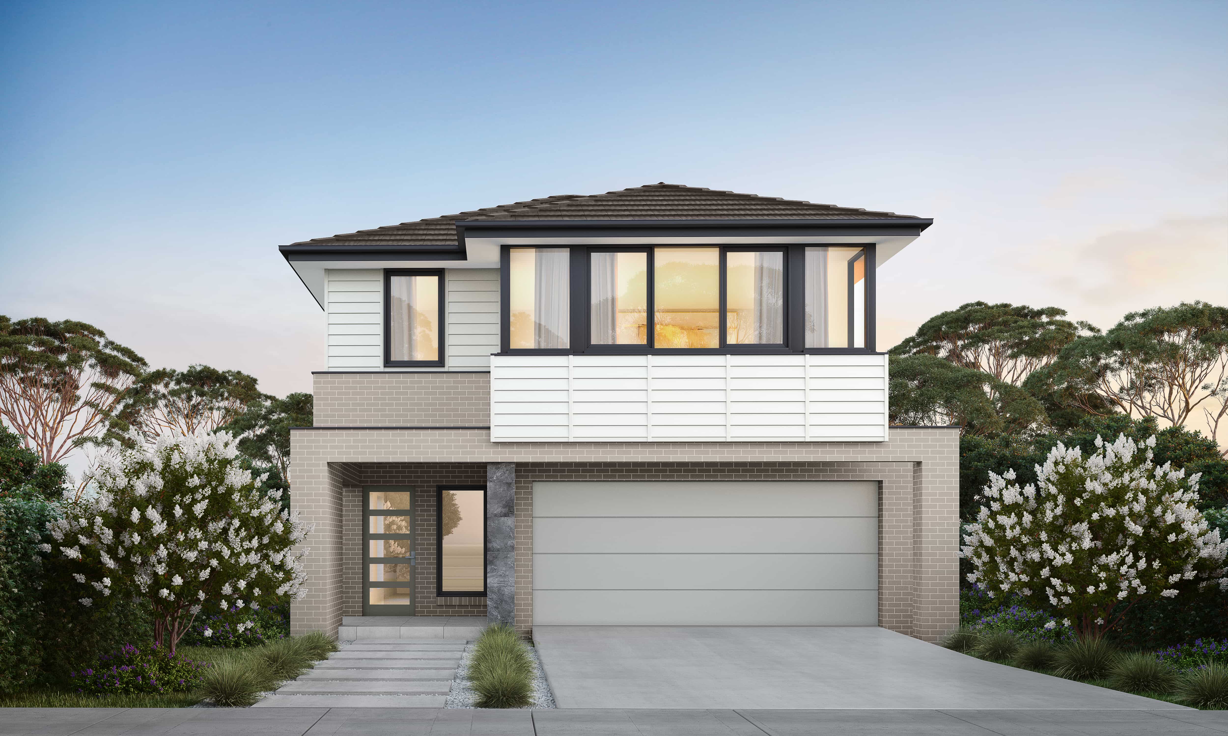
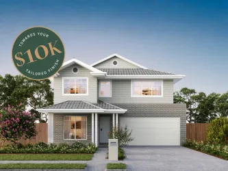
$1,403,000
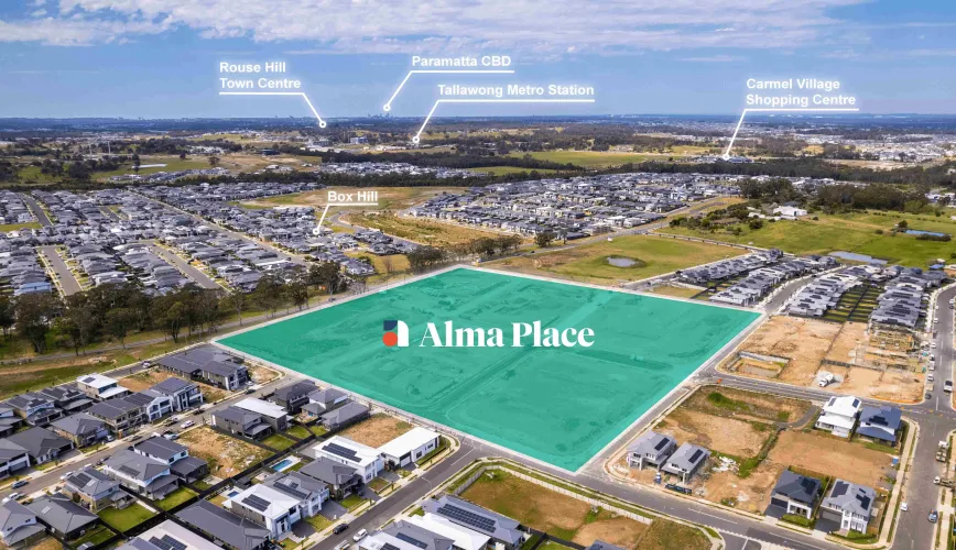
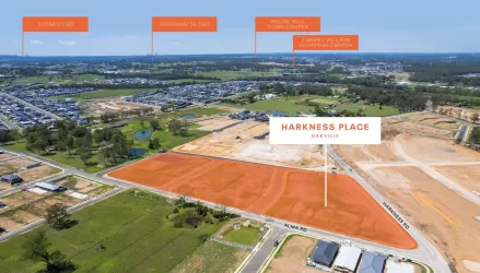
Lot 2004 @ Alma Place Estate


*$30K OFF + 26 PREMIUM UPGRADES
Blinds and flyscreens installed on windows
Wall and ceiling insulation (excluding garage)
900mm oven, cooktop, and range hood
40mm stone kitchen benchtop
Automatic Garage Doors
Ducted air conditioning included
Solar power system
Driveway, turf, letterbox, and fencing
Free Standing Bath
2600mm Ceiling height to ground floor
Render to trims of facade
Tiles to Porch & Alfresco
Fixed site costs
Lifetime structural warranty
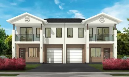
Property overview
- Beds
- 4
- Baths
- 2
- Car Spaces
- 2
- House area
- 224m²
- Land area
- 366m²
- Builder
- Clarendon Homes NSW
- Home Design
- Byron 24
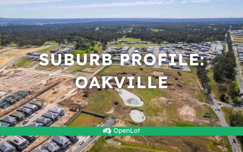
Local information in Oakville NSW 2765
13 House and Land Packages in Alma Place Estate - Oakville
Suburb Planning Review in Oakville NSW 2765
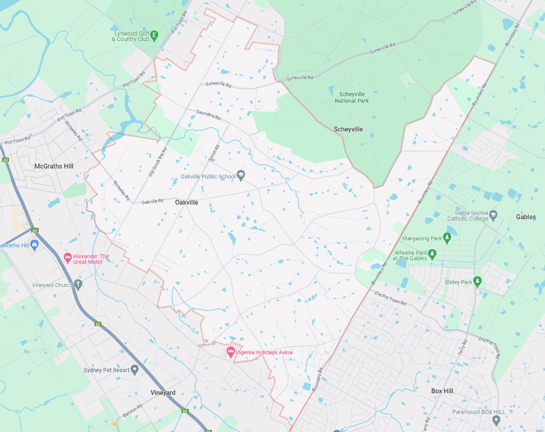
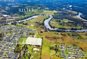
Oakville is approximately 14.6 square kilometres within the City of Hawkesbury, forming part of the Sydney Basin area in New South Wales, located 49 kilometres north-west of Sydney and located inland near the base of the Scheyville National Park.
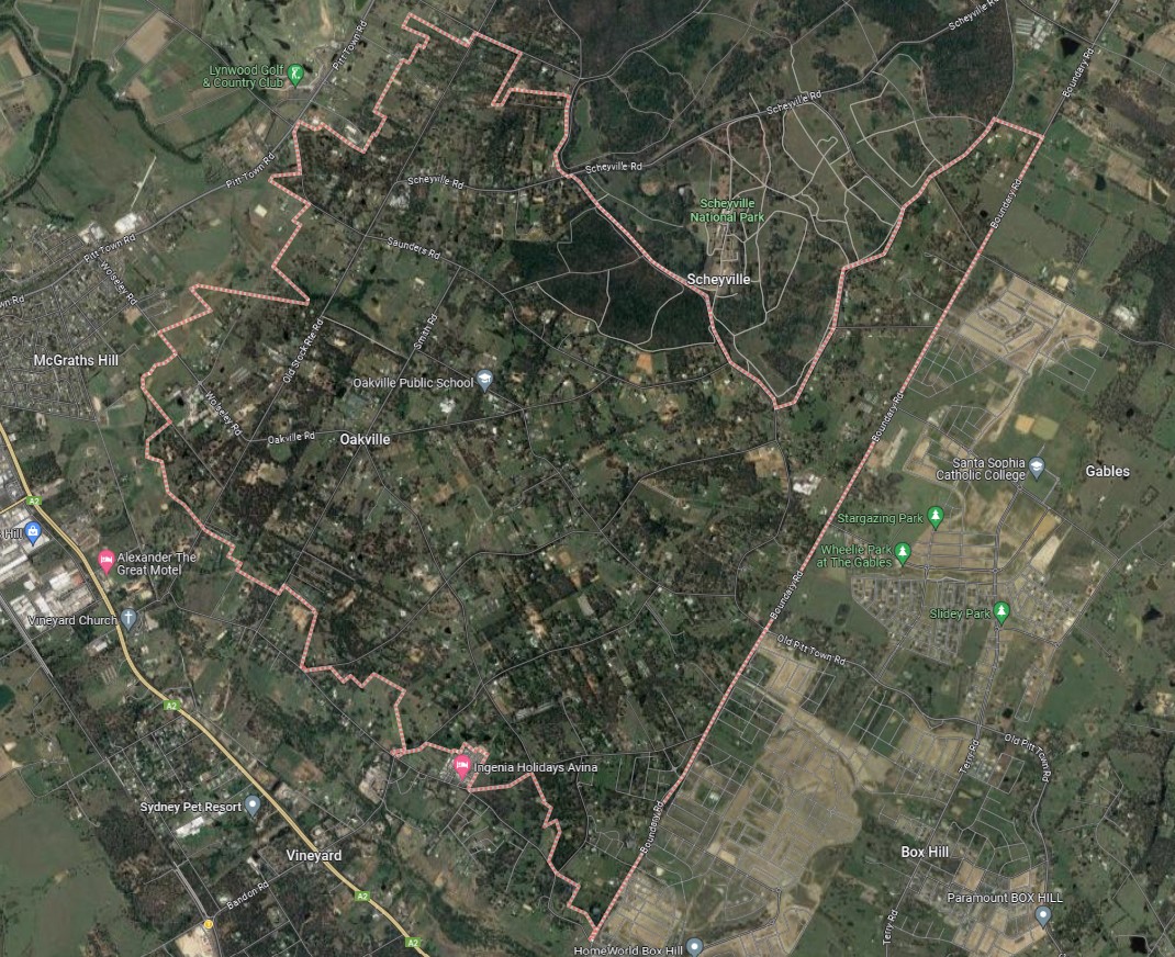
The suburb boundary is located along Old Pitt Town Road, Midson Road, Martin Road and Scholfield Road to the north and Boundary Road to the east. Property boundaries make up the entire western and southern boundaries. Windsor Road and Killarney Chain of Ponds run parallel together outside of the southern boundary.
Broos Road, Smith Road and Old Stock Rte Road provide local road access (north to south) and connect the local road network found throughout Oakville. Brennan Dam Road, Henry Road, and Chapman Road provide southern connections to surrounding suburbs, while Scheyville Road and Old Stock Rte Road are to the north. Menin Road and Old Pitt Town Road provide access to the east, while Wolseley Road and Saunders Road to the west.
The suburb of Oakville is primarily rural land holdings, with Oakville found to contain the southern portion of the Scheyville National Park, rural residential properties. The suburb does not have a business district, though contains recreational areas, natural watercourses, water holes, dams and in proximity to national parks. New urban development is occurring in the southern portion of the suburb, where the boundary has been amended to form the suburb of Vineyard. Stage 1 of the Vineyard Precinct has been recognised and approved for future urban development.
North West Priority Growth Area(Oakville)
Sydney’s North West will form part of the new approach to planning in NSW, following a review by the Department of Planning Industry and Environment in partnership with the Greater Sydney Commission and Government Architect. The decision was made to deliver 51 growth precincts, with the state government able to target areas and local councils empowered to get the correct planning for their community. The precinct planning will occur in four different pathways, being:
- State-led strategic planning
- Collaborative planning between the State and councils
- State-led rezoning
- Council-led rezoning
Oakville is not part of the growth area, however the southern portion of the suburb has been amended to form the suburb of Vineyard and forms part of the North West Growth Area. The area will proceed under the Strategic Planning method, with early work by the Department, councils, State agencies and communities in the development of places and the planning frameworks that support them.
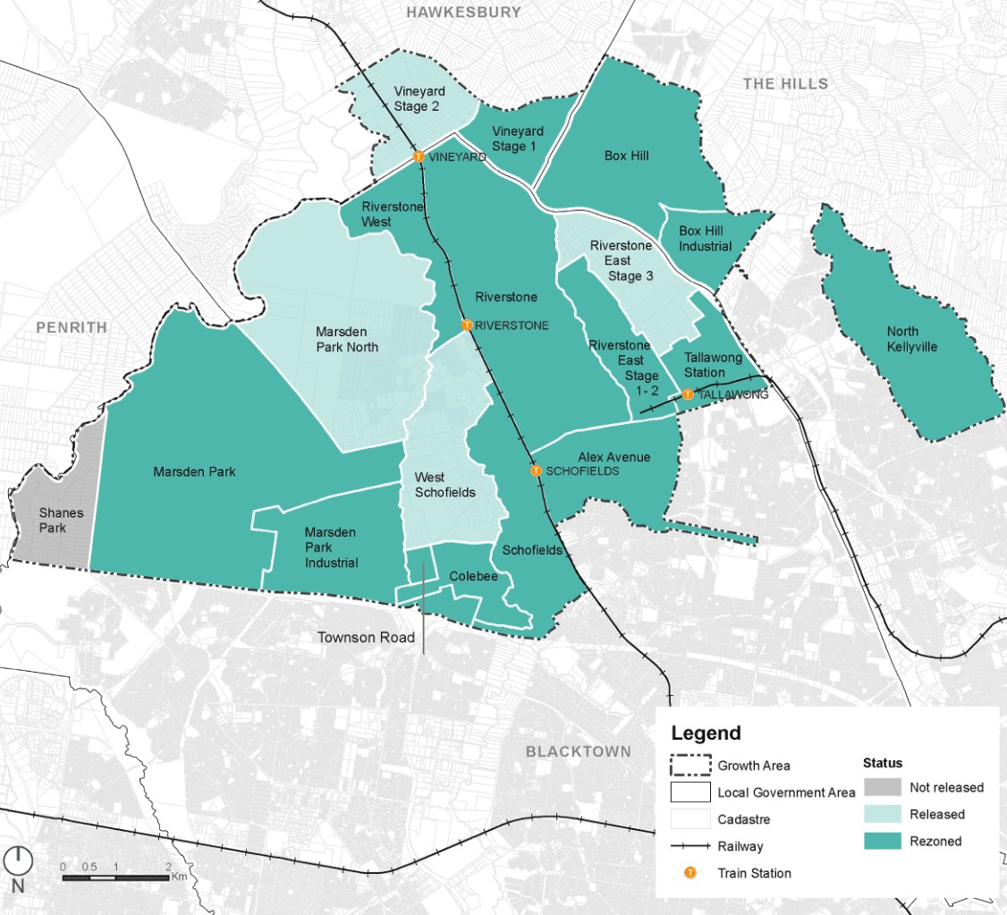
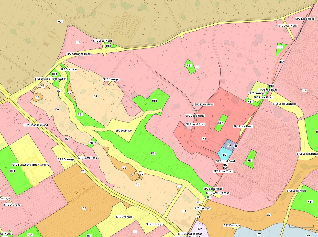
The Hawkesbury City Council prepared a Growth Centres Precinct Development Control Plan (DCP) that was adopted by the Secretary (or delegate) of the Department of Planning and Environment on 8 January 2018 and came into force on 18 January 2018, rezoning a portion of Oakville and amended the boundary for a new suburb of Vineyard.
The DCP was prepared to provide additional guidance to developers on how development is to occur in the Precinct and considerations undertake development in the Vineyard Precinct. The Council’s statutory development assessment will refer to the DCP and in conjunction with the Growth Centres SEPP.
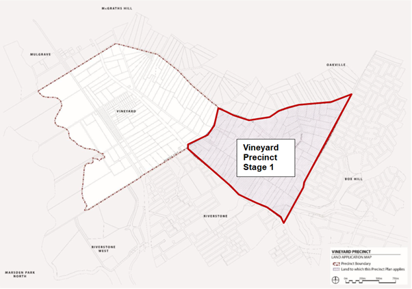
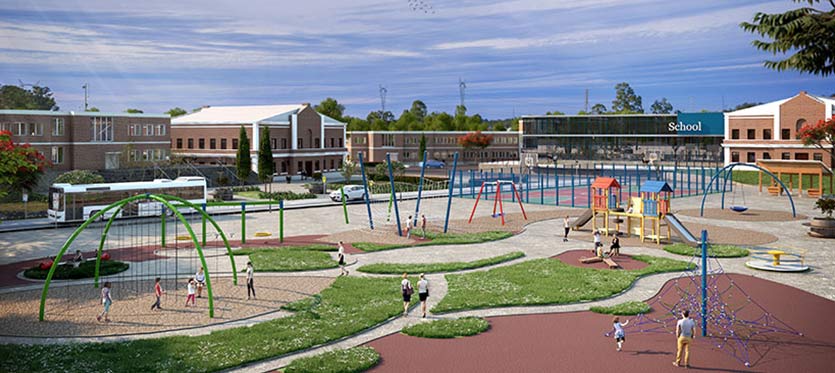
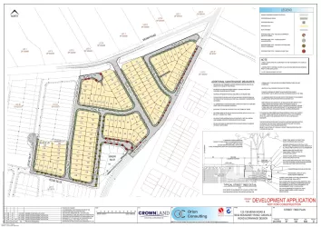
Eastern Precinct (Stage1)
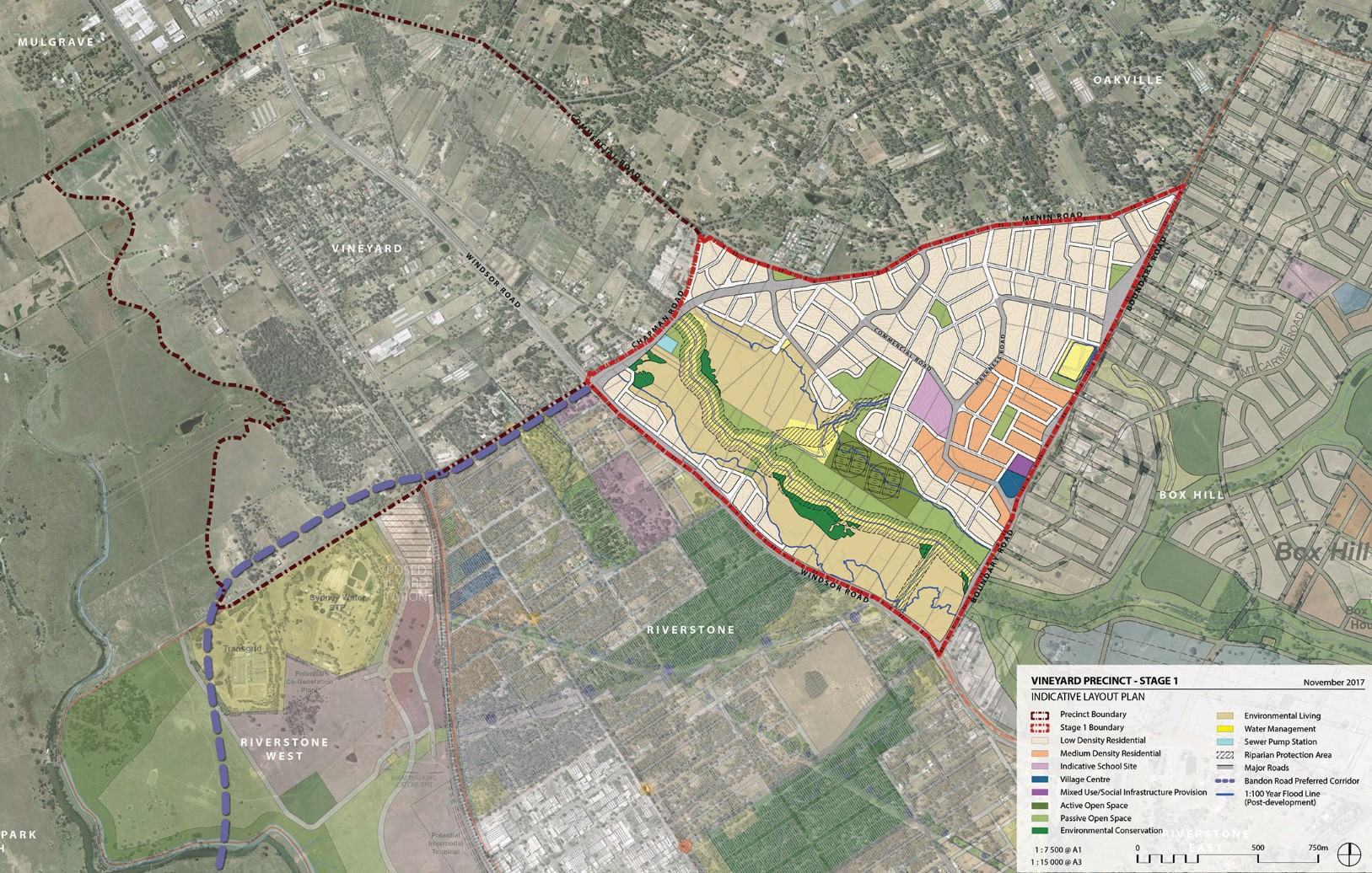
The eastern portion of Vineyard and a southern portion of Oakville created the new Precinct., which set out the new road, open space and drain network for the area. The Precinct was provided with new density levels for residential areas, preferred new school location and retail, as well as environmental heritage values.
The New South Wales State Government aimed to provide a new precinct that was an attractive and well-connected community, in proximity to public transport, community facilities, open space and retail.
Vision of Oakville
“Planning for the Vineyard Precinct responds to the need for new and diverse housing in Sydney that is well connected to major centres and employment, protects natural assets and encourages sustainable living. Consideration of the surrounding context, history and natural environment has informed the precinct planning process”.
“The Precinct will consist of a mix of housing types that will allow for greater choice for different household types. It predominantly provides for low density housing, with some medium density around the village centre and open spaces”.
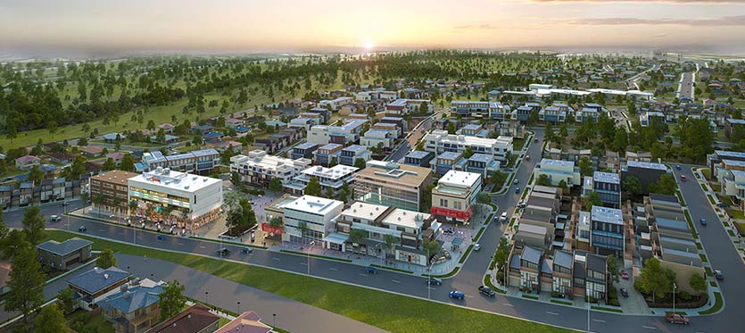
“Places of significant heritage value, particularly the Pitt Town Common House, have been integrated into the planning of the Precinct to ensure protection through a sensitive design approach. The village centre will support retail, commercial and community services to promote community interaction”.
“Regional public transport accessibility has been provided through road connections to the nearby Vineyard railway station and a regional bus network along the major roads. A safe and permeable street network will promote accessibility, connectivity and social interaction. The provision of cycle ways and pedestrian connections, as well as public transport connections to surrounding centres, will promote a community that is less dependent on private vehicle use”.
Precinct Zoning of Oakville
The existing zoning will be amended to provide for future infrastructures to facilitate future development within the Hawkesbury City Council Growth Centres Precinct. A new village centre including a supermarket and some community facilities is planned to meet the local shopping needs of future residents.
A new road network has been designed to help provide safe streets for residents, cycling and walking paths, and provide direct access to the village centre. The new roads will enable bus services to connect people to surrounding suburbs and areas for schools, employment, retail, open spaces and services.
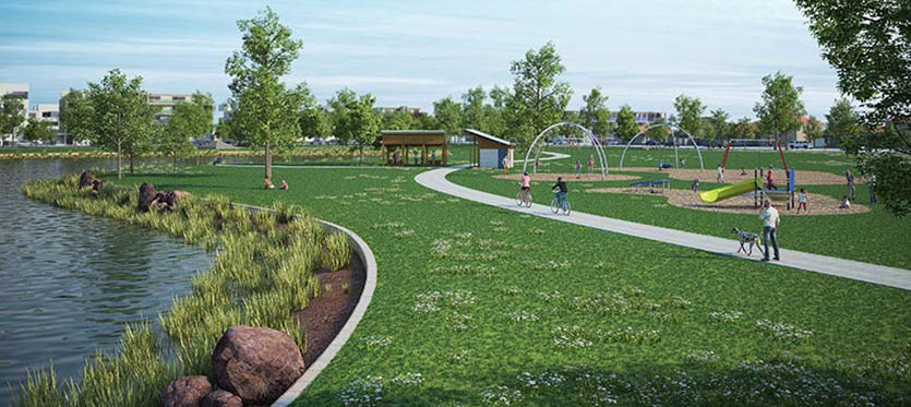
Pedestrian and cyclist facilities will be constructed along open space and Killarney Chain of Ponds that will access the new residential areas.
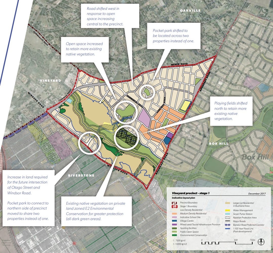
The rezoning of part of the Vineyard precinct will create a new community with shops, cafes and substantial green open space in Sydney's North West. Green spaces will be integrated with new homes with landscaping and tree planting along streets and in public domain areas, and with protected remnant stands of vegetation, for local residents to enjoy.
Oakville Suburb Summary
References
Vineyard – Stage 1 Precinct Rezoning
Hawkesbury City Council Growth Centres Precinct - Development Control Plan
Alma Place Oakville Video
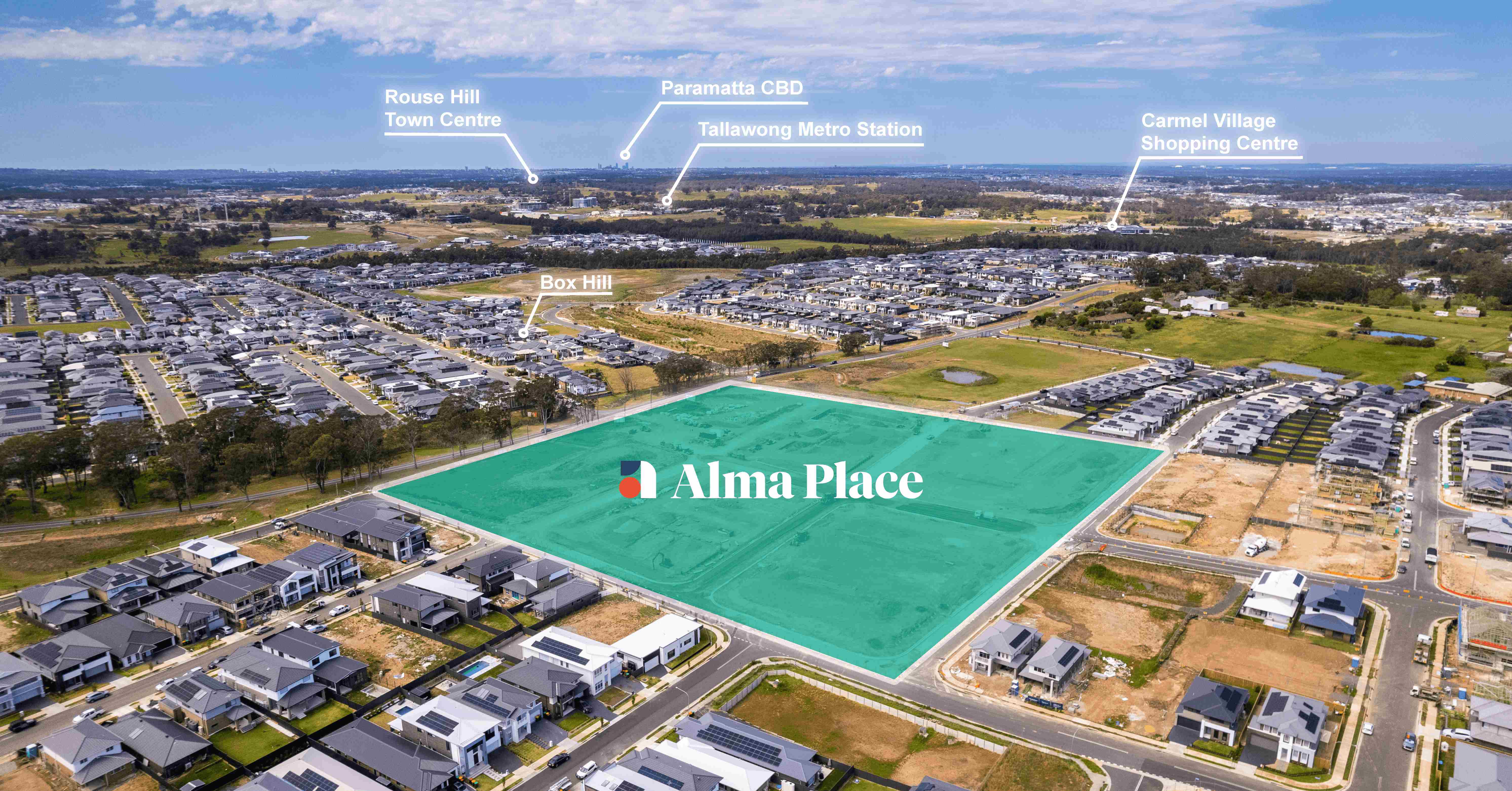
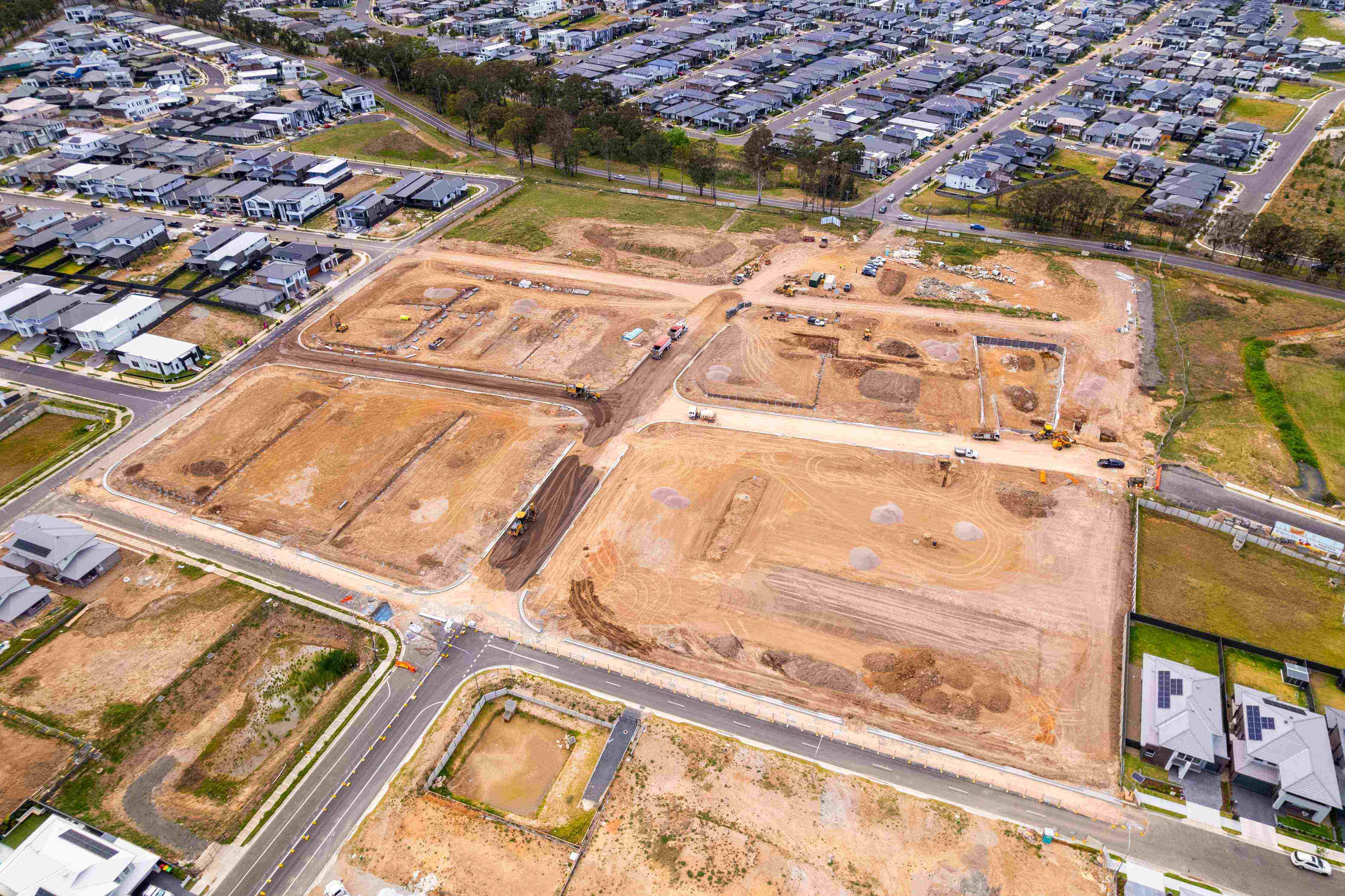
Estate overview
This information is estimated by the OpenLot research team. Let us know here to provide up-to-date information about this development.
| Total new homes | |
| Area Size | 5.02 hectares |
| Growth Region | Sydney North West Growth Areas |
| City Council | Hawkesbury City Council |
| Developer | CPG Estates, Clarendon Homes, Domaine Homes |
| Distance to | |
| OpenLot Offer | $200 Cashback |
Updates for Alma Place Estate - Oakville
Clarendon Homes NSW Video
Nearby schools in Alma Place Estate - Oakville
There are 6 schools registered in this area on ACARA 2024
FAQs about Alma Place Estate - Oakville
CPG Estates and Clarendon Homes and Domaine Homes is the developer behind Alma Place Estate - Oakville.
Alma Place Estate - Oakville consists of 144 homes.
The total area for Alma Place Estate - Oakville is 5.02 hectares.
Alma Place Estate - Oakville falls under Hawkesbury City Council.
Alma Place Estate - Oakville is 38 km north-west of Sydney CBD.
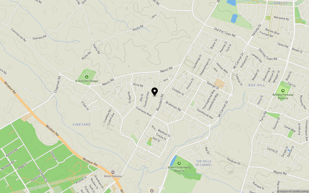
Nearby schools for Alma Place Estate - Oakville:
- Vineyard Public School - 2.1km west
- Oakville Public School - 2.8km north
- Santa Sophia Catholic College (Secondary) - 3.3km north-east
- Santa Sophia Catholic College (Primary) - 3.3km north-east
- St John's Primary School - 3.6km south
- South Creek School - 3.7km south
Land Price Trend in Oakville NSW 2765
Below shows the price trend from vacant land sales recorded in Oakville NSW 2765.
The data and information provided by Terralytics (Aust) Pty Ltd (Terralytics Data) is general in nature and is not intended to constitute professional advice. Read more
It should not be relied upon as a substitute for legal, financial, valuation, or other specialist advice relevant to your specific circumstances.
Terralytics uses commercially reasonable endeavours to ensure the Terralytics Data is current and accurate. However, as the Terralytics Data incorporates information sourced from third parties, Terralytics makes no representation or warranty — express or implied — as to its accuracy, completeness, or currency. To the maximum extent permitted by applicable law, Terralytics excludes all liability for any loss or damage (including consequential loss) arising out of or in connection with reliance on the Terralytics Data, whether arising in contract, tort (including negligence), statute, or otherwise.
Popular Estates near Alma Place Estate - Oakville

Not exactly what you're looking for? Try surrounding suburbs
Grantham Farm NSW 2765
12 estates | Blacktown City Council
4.2km south
Riverstone NSW 2765
17 estates | Blacktown City Council
6.0km south
Vineyard NSW 2765
9 estates | Blacktown City Council, Hawkesbury City Council
2.4km south-west
Pitt Town NSW 2756
3 estates | Hawkesbury City Council
4.6km north
Gables NSW 2765
10 estates | The Hills Shire Council
3.8km east
Box Hill NSW 2765
64 estates | The Hills Shire Council
2.2km south


