
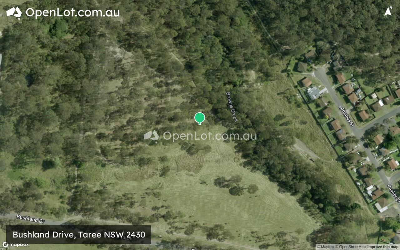
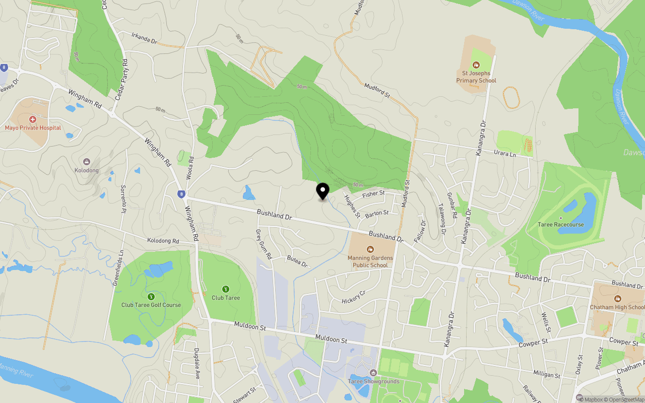
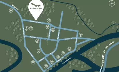
Location & Map for Bushland Drive, Taree NSW 2430
Schools near Bushland Drive, Taree NSW 2430
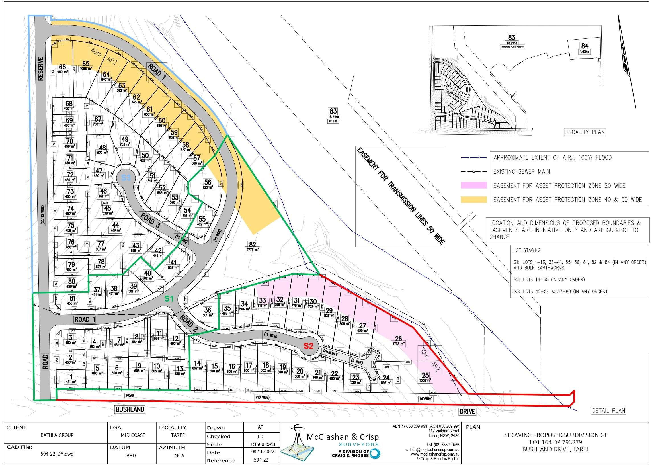
Overview
This information is estimated by the OpenLot research team. Let us know here to provide up-to-date information about this development.
| Total new homes | |
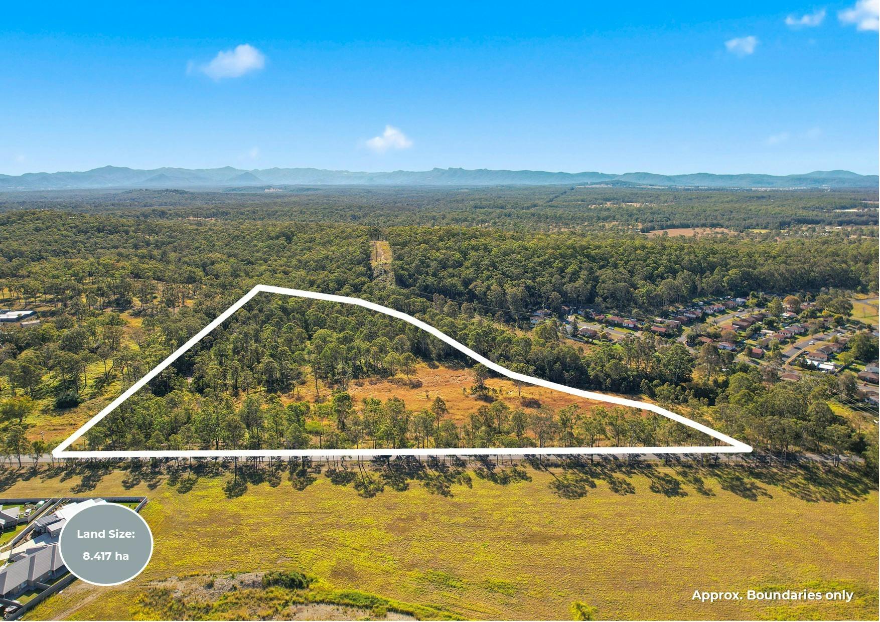
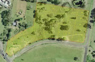
| Area Size | 8.40 hectares |
| City Council | MidCoast Council |
| Developer | N/A |
Updates for Bushland Drive, Taree
Land Price Trend in Taree NSW 2430
Below shows the price trend from vacant land sales recorded in Taree NSW 2430.
The data and information provided by Terralytics (Aust) Pty Ltd (Terralytics Data) is general in nature and is not intended to constitute professional advice. Read more
It should not be relied upon as a substitute for legal, financial, valuation, or other specialist advice relevant to your specific circumstances.
Terralytics uses commercially reasonable endeavours to ensure the Terralytics Data is current and accurate. However, as the Terralytics Data incorporates information sourced from third parties, Terralytics makes no representation or warranty — express or implied — as to its accuracy, completeness, or currency. To the maximum extent permitted by applicable law, Terralytics excludes all liability for any loss or damage (including consequential loss) arising out of or in connection with reliance on the Terralytics Data, whether arising in contract, tort (including negligence), statute, or otherwise.
Popular Estates near Bushland Drive, Taree


Not exactly what you're looking for? Try surrounding suburbs
Brimbin NSW 2430
1 estate | MidCoast Council
3.4km north
Diamond Beach NSW 2430
4 estates | MidCoast Council
17.6km south-east
Old Bar NSW 2430
4 estates | MidCoast Council
13.5km south-east
Wingham NSW 2429
2 estates | MidCoast Council
8.9km west
Tallwoods Village NSW 2430
1 estate | MidCoast Council
19.7km south
Rainbow Flat NSW 2430
1 estate | MidCoast Council
16.9km south
Latest published articles


FAQs about Bushland Drive, Taree NSW 2430
Bushland Drive, Taree NSW 2430 consists of 52 homes.
The total area for Bushland Drive, Taree NSW 2430 is 8.40 hectares.
Bushland Drive, Taree NSW 2430 falls under MidCoast Council.
Nearby schools for Bushland Drive, Taree NSW 2430:
- Manning Gardens Public School - 566m south-east
- St Joseph's Primary School - 1.6km north-east
- Taree West Public School - 2.3km south-west
- St Clare's High School - 2.4km east
- Taree High School - 2.5km south
- Chatham High School - 2.5km east