
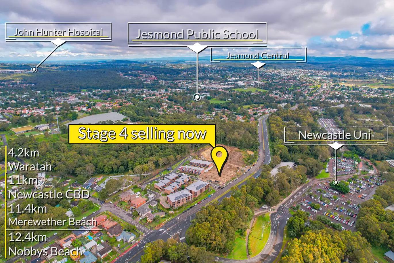

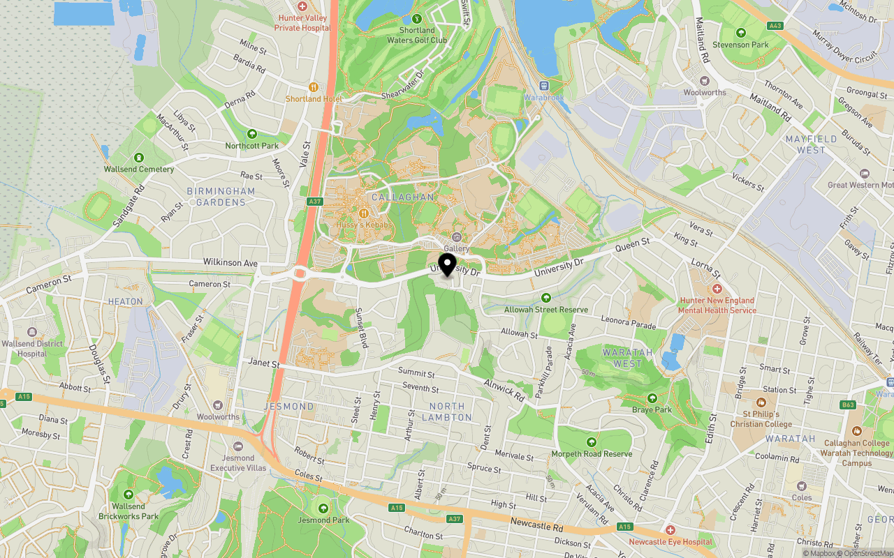
Location & Map for The Grounds Townhouses - Waratah West
Schools near The Grounds Townhouses - Waratah West
The Grounds Townhouses - Waratah West Video
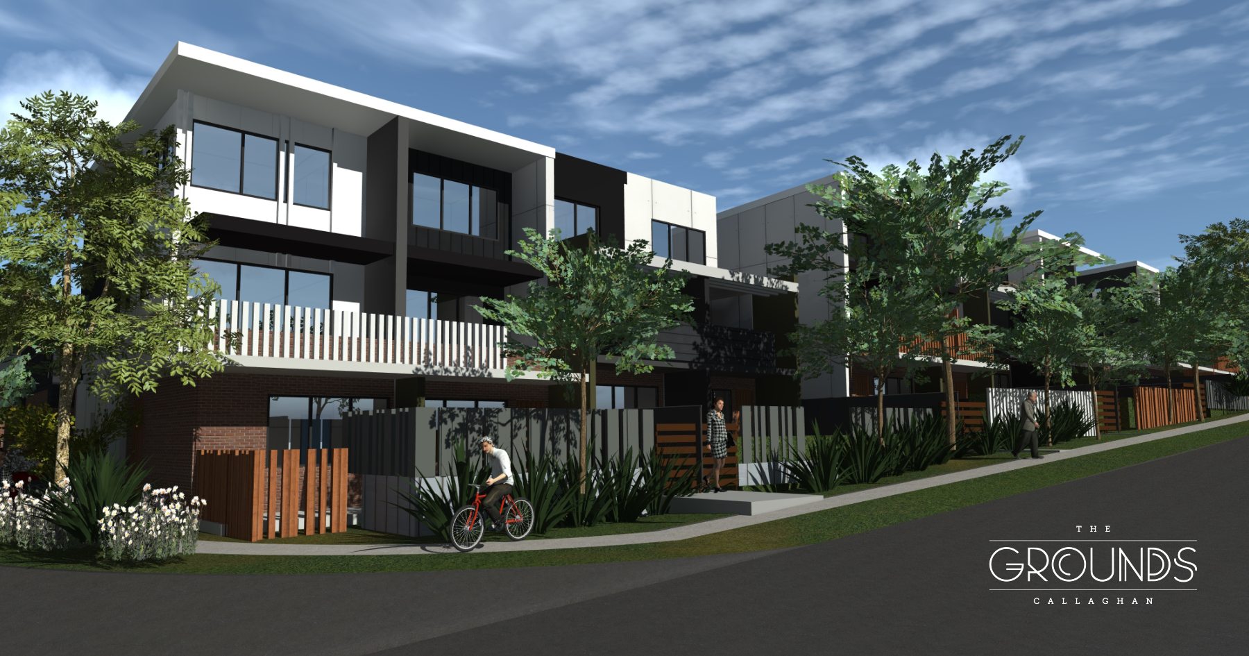
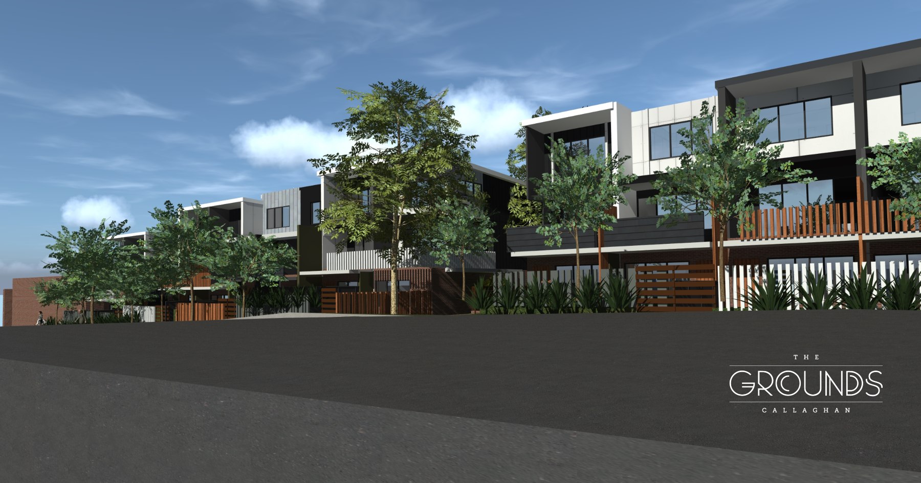
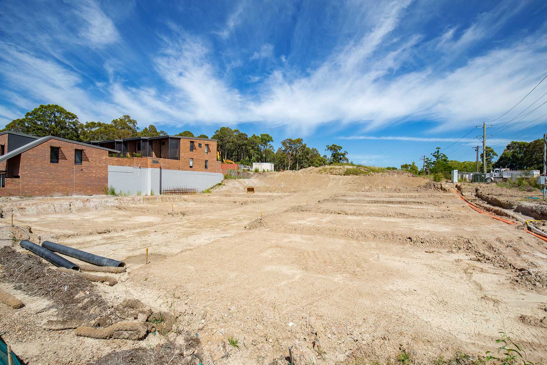
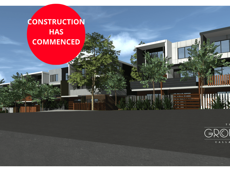
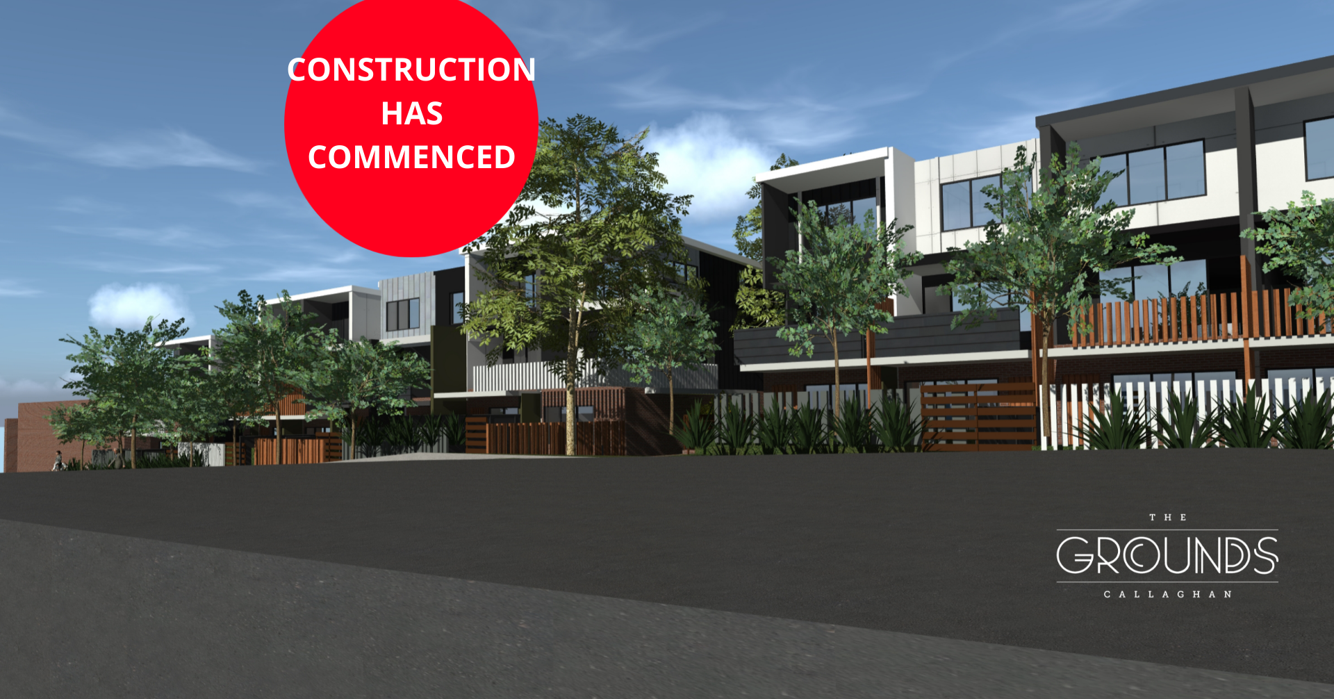
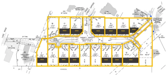
Overview
This information is estimated by the OpenLot research team. Let us know here to provide up-to-date information about this development.
| Total new homes | |
| Area Size | 2.50 hectares |
| Growth Region | Greater Newcastle Growth Areas (The Hunter Region) |
| City Council | Newcastle City Council |
| Developer | Lambton North Holdings Pty Ltd |
| Project Marketer | Ray White Newcastle |
| Distance to |
Updates for The Grounds Townhouses - Waratah West

Popular Estates near The Grounds Townhouses - Waratah West
Not exactly what you're looking for? Try surrounding suburbs
Rankin Park NSW 2287
1 estate | Lake Macquarie City Council
3.7km south-west
Elermore Vale NSW 2287
2 estates | Newcastle City Council
4.5km south-west
Mayfield NSW 2304
1 estate | Newcastle City Council
3.0km east
Shortland NSW 2307
1 estate | Newcastle City Council
3.0km north-west
Mayfield West NSW 2304
1 estate | Newcastle City Council
2.5km north-east
Wallsend NSW 2287
1 estate | Newcastle City Council
3.4km west
Latest published articles


FAQs about The Grounds Townhouses - Waratah West
Lambton North Holdings Pty Ltd is the developer behind The Grounds Townhouses - Waratah West.
The total area for The Grounds Townhouses - Waratah West is 2.50 hectares.
The Grounds Townhouses - Waratah West falls under Newcastle City Council.
The Grounds Townhouses - Waratah West is 8 km north-west of Newcastle CBD.
Ray White Newcastle is the project marketer for The Grounds Townhouses - Waratah West.
Nearby schools for The Grounds Townhouses - Waratah West:
- Callaghan College Jesmond Senior Campus - 868m south-west
- Heaton Public School - 879m west
- Jesmond Public School - 1.1km south-west
- Waratah West Public School - 1.2km east
- Our Lady of Victories Primary School - 1.3km north-west
- Margaret Jurd College - 1.3km north-west