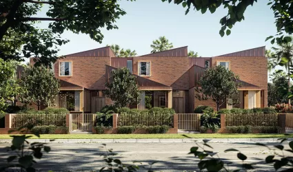
Housing Estates in Haberfield, NSW 2045
1 result

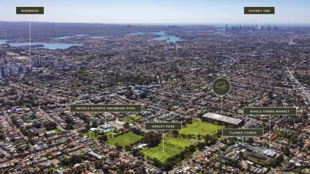
Suburb Profile for Haberfield NSW 2045
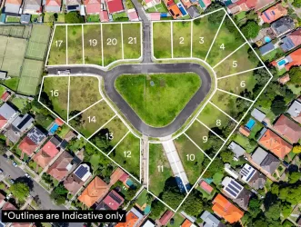
Land for Sale, House and Land Packages and Townhouses in Haberfield NSW 2045 across 1 estate. Below are a snapshot of this suburb via buyer demand index.
| Total developments | 1 |
| City council | Inner West Council |
| Nearby distances |
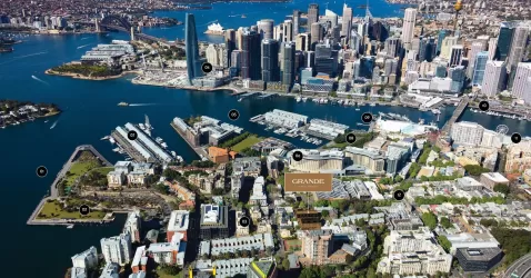
4 km west to Sydney CBD 9 km north-west to Sydney Airport |
Popular Estates near Haberfield NSW 2045
Schools in Haberfield NSW 2045
Suburbs near Haberfield NSW 2045
Annandale NSW 2038
1 estate | Inner West Council
2.3km east
Ashbury NSW 2193
1 estate | City of Canterbury Bankstown
3.6km south-west
Glebe NSW 2037
1 estate | City of Sydney
3.9km east
Enfield NSW 2136
1 estate | Burwood Council
4.5km west
Breakfast Point NSW 2137
1 estate | City of Canada Bay Council
4.8km north-west
Pyrmont NSW 2009
2 estates | City of Sydney
4.9km east
Vacancy Rate in Haberfield NSW 2045
View full vacancy rate history in Haberfield NSW 2045 via SQM Research
FAQs about Haberfield NSW 2045
Haberfield NSW 2045 falls under Inner West Council.
Haberfield NSW 2045 is near the following:
- 4 km west to Sydney CBD
- 9 km north-west to Sydney Airport
There are 3 schools registered in Haberfield NSW 2045.
- Haberfield Public School
- Dobroyd Point Public School
- St Joan of Arc Catholic Primary School
There are 6 suburbs near Haberfield NSW 2045.
