
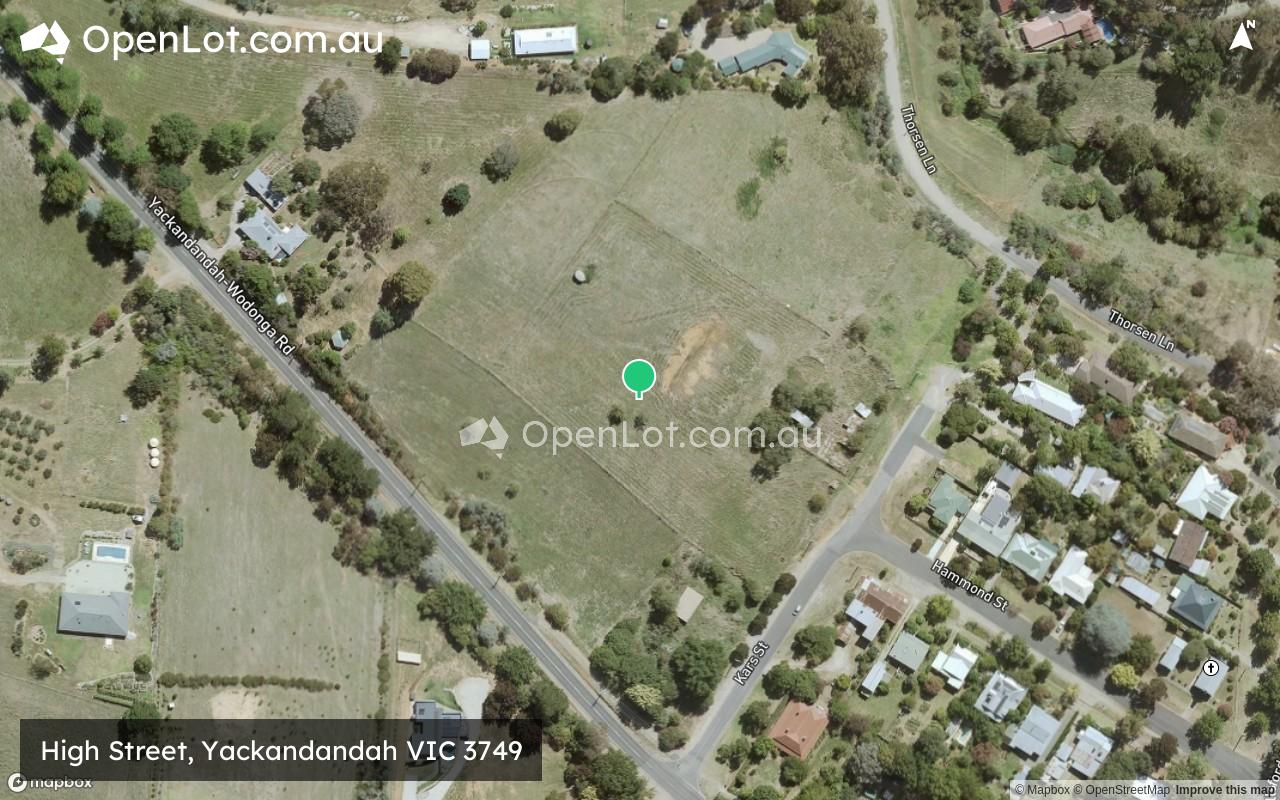
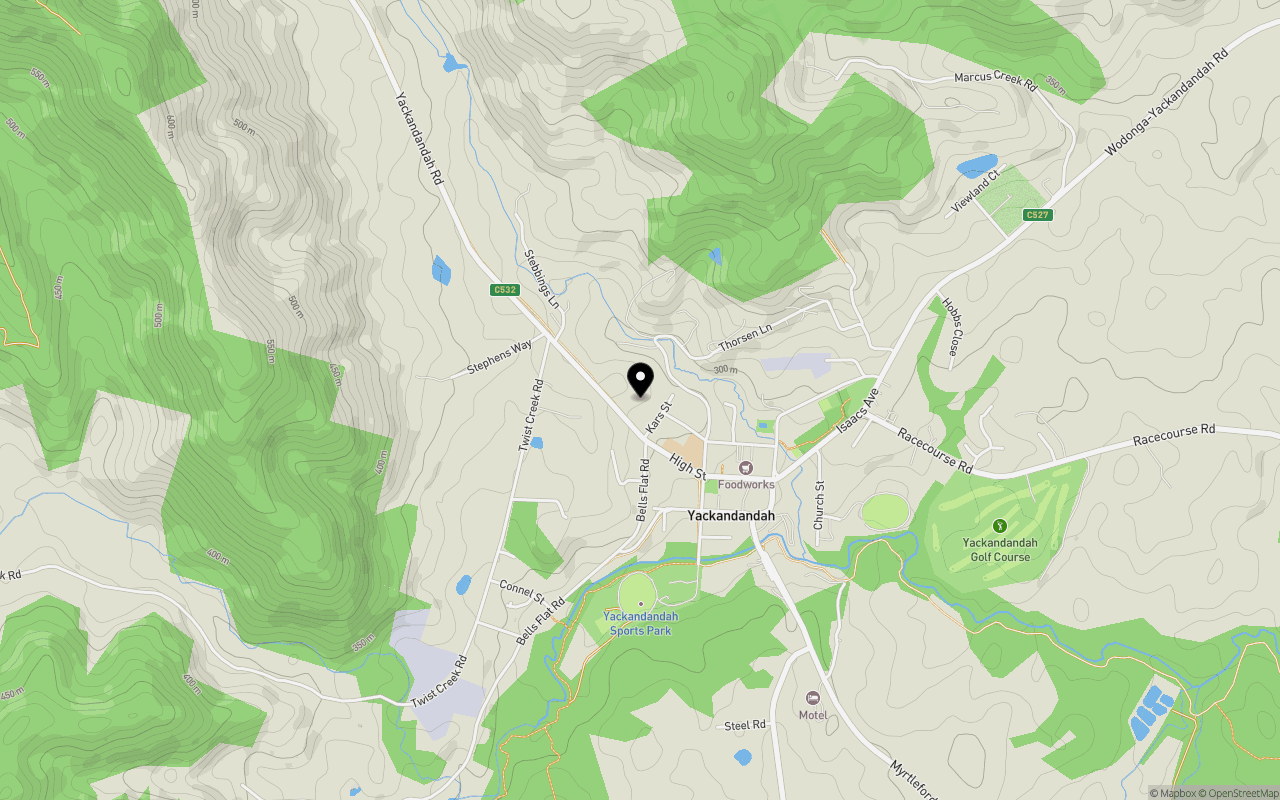
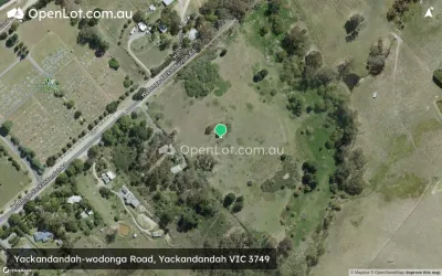
Location & Map for High Street, Yackandandah VIC 3749
Schools near High Street, Yackandandah VIC 3749
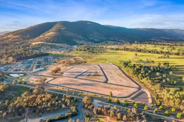
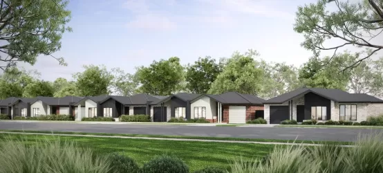
Overview
This information is estimated by the OpenLot research team. Let us know here to provide up-to-date information about this development.
| Total new homes | |
| Area Size | 3.58 hectares |
| City Council | Indigo Shire Council |
| Developer | N/A |
| Distance to |
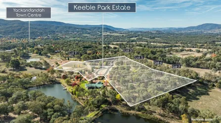
Popular Estates near High Street, Yackandandah


Not exactly what you're looking for? Try surrounding suburbs
Huon Creek VIC 3691
1 estate | City Of Wodonga
19.8km north
Baranduda VIC 3691
5 estates | City Of Wodonga
20.9km north-east
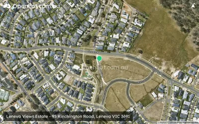
Leneva VIC 3691
6 estates | City Of Wodonga
14.5km north-east
Beechworth VIC 3747
2 estates | Indigo Shire Council
10.9km west
Tangambalanga VIC 3691
2 estates | Indigo Shire Council
22.1km north-east
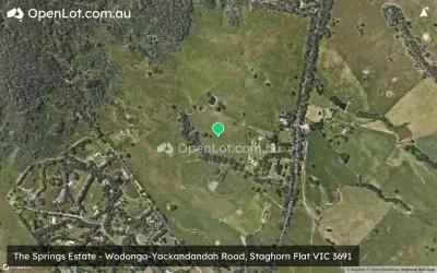
Staghorn Flat VIC 3691
1 estate | City Of Wodonga
14.7km north-east
Latest published articles


FAQs about High Street, Yackandandah VIC 3749
High Street, Yackandandah VIC 3749 consists of 25 homes.
The total area for High Street, Yackandandah VIC 3749 is 3.58 hectares.
High Street, Yackandandah VIC 3749 falls under Indigo Shire Council.
High Street, Yackandandah VIC 3749 is 27 km south of Albury CBD.
Nearby schools for High Street, Yackandandah VIC 3749:
- Yackandandah Primary School - 223m south-east
- Osbornes Flat Primary School - 5.2km east
- Wooragee Primary School - 9.6km west
- Stanley Primary School - 12.7km south-west
- Beechworth Secondary College - 13.6km west
- Beechworth Primary School - 13.6km west