
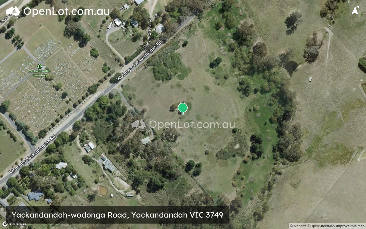
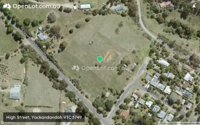
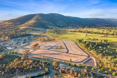
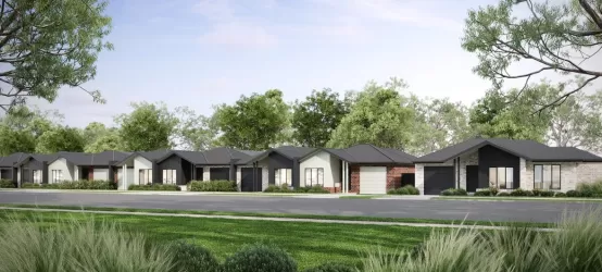
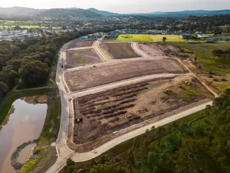
Yackandandah-wodonga Road, Yackandandah VIC 3749
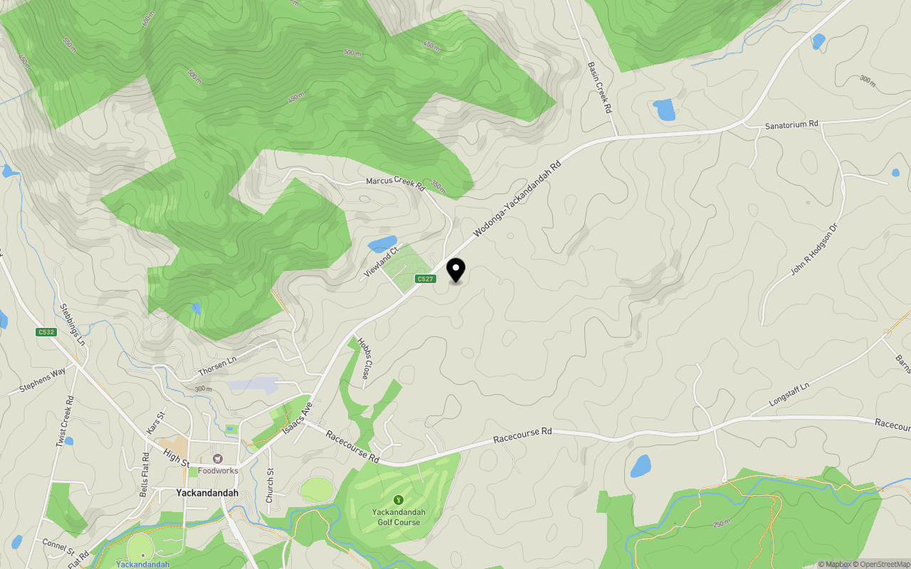
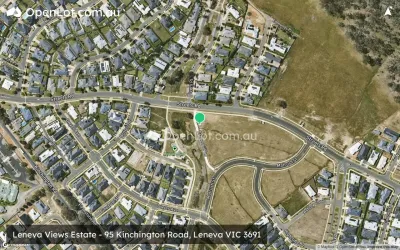
Location & Map for Yackandandah-wodonga Road, Yackandandah VIC 3749
Schools near Yackandandah-wodonga Road, Yackandandah VIC 3749
Overview
This information is estimated by the OpenLot research team. Let us know here to provide up-to-date information about this development.
| Total new homes | |
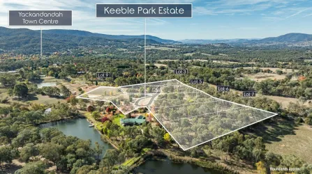
| Area Size | 7.59 hectares |
| City Council | Indigo Shire Council |
| Developer | N/A |
| Distance to |
Popular Estates near Yackandandah-wodonga Road, Yackandandah


Not exactly what you're looking for? Try surrounding suburbs
Huon Creek VIC 3691
1 estate | City Of Wodonga
19.8km north
Baranduda VIC 3691
5 estates | City Of Wodonga
20.9km north-east
Leneva VIC 3691
6 estates | City Of Wodonga
14.5km north-east
Beechworth VIC 3747
2 estates | Indigo Shire Council
10.9km west
Tangambalanga VIC 3691
2 estates | Indigo Shire Council
22.1km north-east
Staghorn Flat VIC 3691
1 estate | City Of Wodonga
14.7km north-east
Latest published articles


FAQs about Yackandandah-wodonga Road, Yackandandah VIC 3749
Yackandandah-wodonga Road, Yackandandah VIC 3749 consists of 12 homes.
The total area for Yackandandah-wodonga Road, Yackandandah VIC 3749 is 7.59 hectares.
Yackandandah-wodonga Road, Yackandandah VIC 3749 falls under Indigo Shire Council.
Yackandandah-wodonga Road, Yackandandah VIC 3749 is 26 km south of Albury CBD.
Nearby schools for Yackandandah-wodonga Road, Yackandandah VIC 3749:
- Yackandandah Primary School - 1.8km south-west
- Osbornes Flat Primary School - 3.7km south-east
- Wooragee Primary School - 11.1km west
- Stanley Primary School - 14.3km south-west
- Beechworth Secondary College - 15.4km west
- Beechworth Primary School - 15.5km west