
Property types for sale
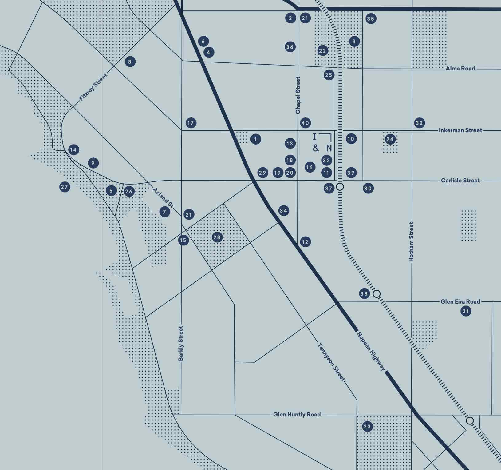
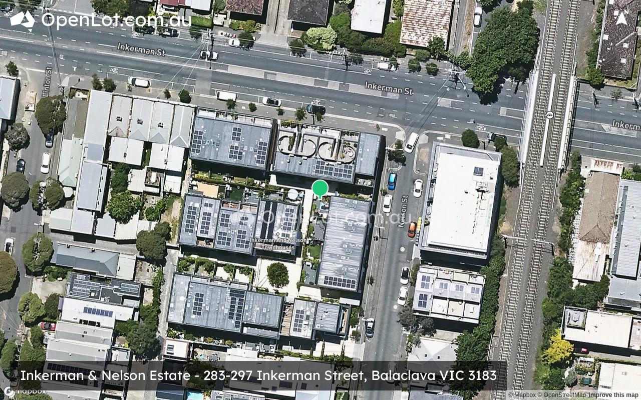
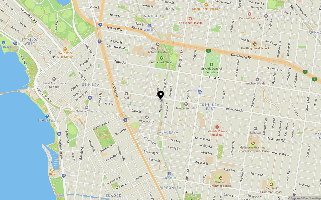
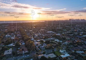
Location & Map for Inkerman & Nelson Estate - Balaclava
Schools near Inkerman & Nelson Estate - Balaclava
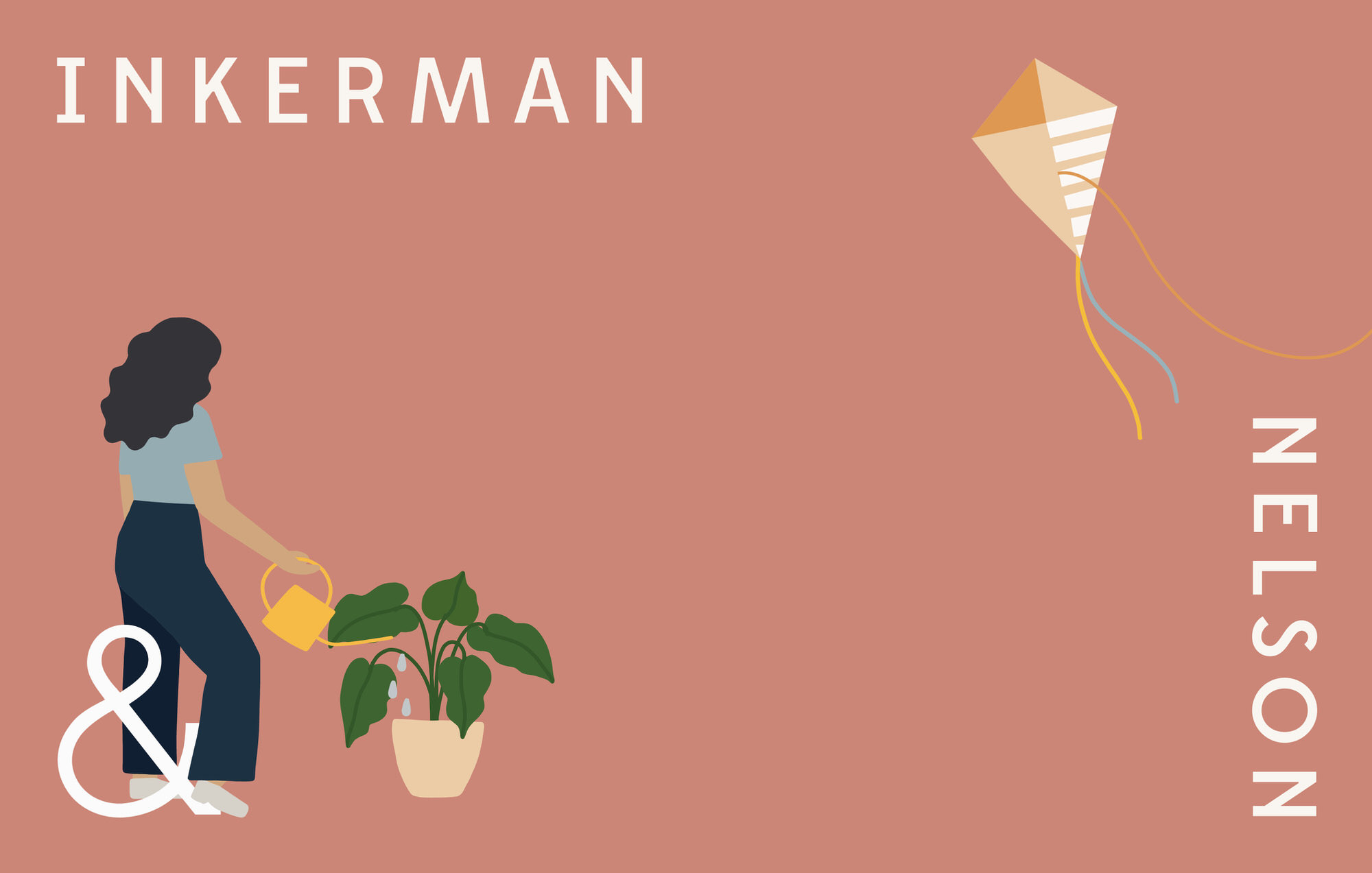
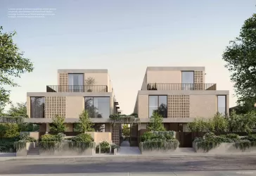
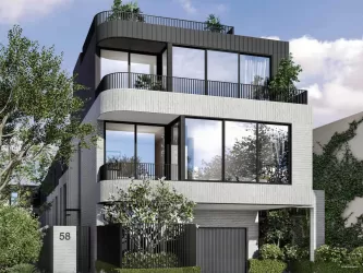
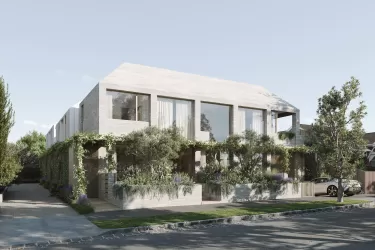
Overview
This information is estimated by the OpenLot research team. Let us know here to provide up-to-date information about this development.
| Total new homes | |
| Area Size | 0.20 hectares |
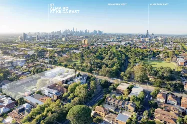
| Growth Region | Melbourne South East Growth Corridor |
| City Council | Port Phillip City Council |
| Developer | ICON Developments |
| Project Marketer | Eisen Property |
| Creative Agency | Earl.St |
| Distance to |
Updates for Inkerman & Nelson Estate - Balaclava
Popular Estates near Inkerman & Nelson Estate - Balaclava


Not exactly what you're looking for? Try surrounding suburbs
St Kilda VIC 3182
3 estates | Port Phillip City Council
1.7km north-west
Elwood VIC 3184
2 estates | Port Phillip City Council
1.3km south-west
Elsternwick VIC 3185
2 estates | Glen Eira City Council
2.1km south-east
Caulfield North VIC 3161
1 estate | Glen Eira City Council
2.7km east
Armadale VIC 3143
1 estate | Stonnington City Council
2.5km north-east
Prahran VIC 3181
2 estates | Stonnington City Council
2.5km north
Latest published articles


FAQs about Inkerman & Nelson Estate - Balaclava
ICON Developments is the developer behind Inkerman & Nelson Estate - Balaclava.
Inkerman & Nelson Estate - Balaclava consists of 26 homes.
The total area for Inkerman & Nelson Estate - Balaclava is 0.20 hectares.
Inkerman & Nelson Estate - Balaclava falls under Port Phillip City Council.
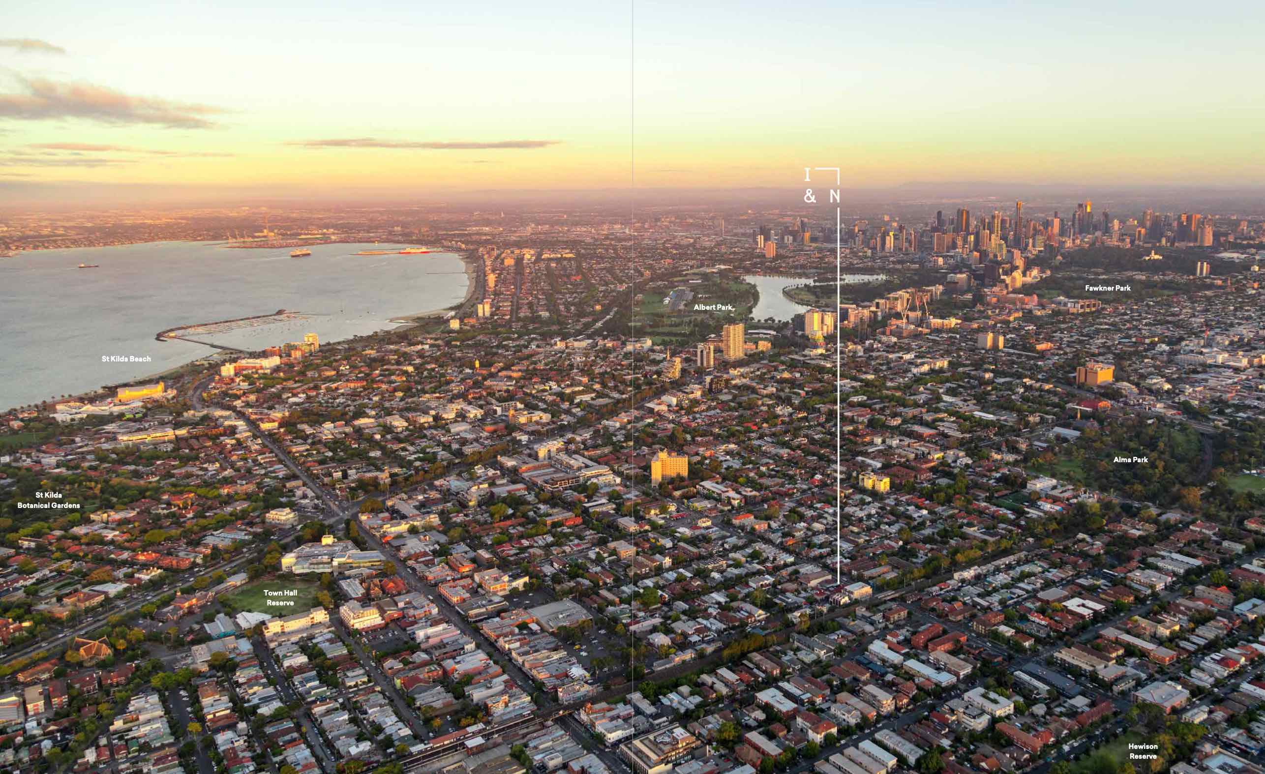
Inkerman & Nelson Estate - Balaclava is 6 km south-east of Melbourne CBD.
Eisen Property is the project marketer for Inkerman & Nelson Estate - Balaclava.
Nearby schools for Inkerman & Nelson Estate - Balaclava:
- Yeshivah College - 600m east
- Cheder Levi Yitzchok Inc - 600m north
- St Kilda Primary School - 620m south-west
- St Michael's Grammar School - 725m north
- St Mary's College Melbourne - 786m north
- Beth Rivkah Ladies College - 821m south-east