
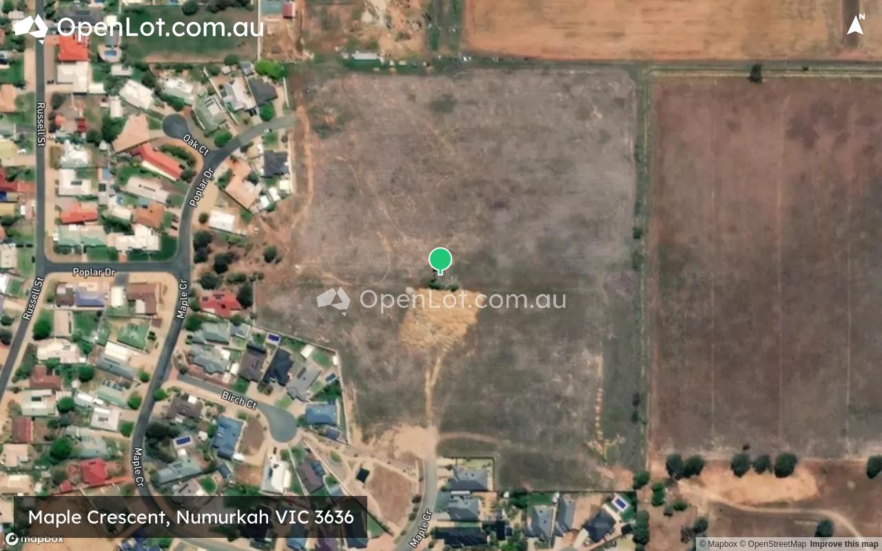
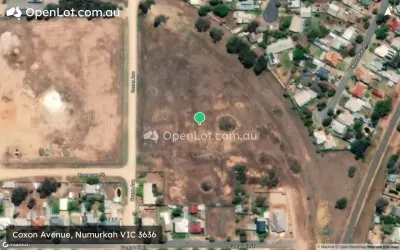
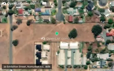
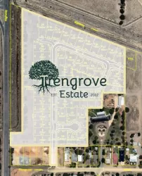
Location & Map for Maple Crescent, Numurkah VIC 3636
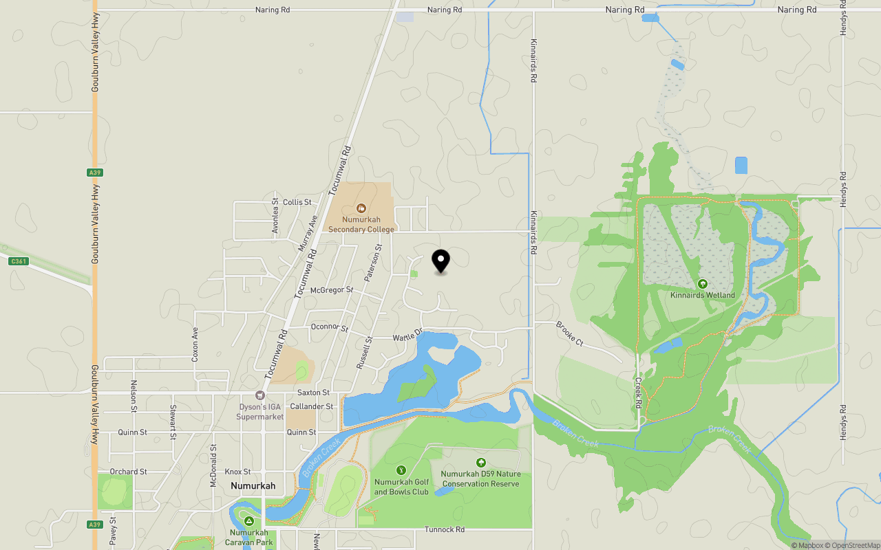
Schools near Maple Crescent, Numurkah VIC 3636
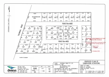
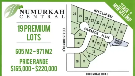
Overview
This information is estimated by the OpenLot research team. Let us know here to provide up-to-date information about this development.
| Total new homes | |
| Area Size | 6.63 hectares |
| City Council | Moira Shire Council |
| Developer | N/A |
Land Price Trend in Numurkah VIC 3636
Below shows the price trend from vacant land sales recorded in Numurkah VIC 3636.
The data and information provided by Terralytics (Aust) Pty Ltd (Terralytics Data) is general in nature and is not intended to constitute professional advice. Read more
It should not be relied upon as a substitute for legal, financial, valuation, or other specialist advice relevant to your specific circumstances.
Terralytics uses commercially reasonable endeavours to ensure the Terralytics Data is current and accurate. However, as the Terralytics Data incorporates information sourced from third parties, Terralytics makes no representation or warranty — express or implied — as to its accuracy, completeness, or currency. To the maximum extent permitted by applicable law, Terralytics excludes all liability for any loss or damage (including consequential loss) arising out of or in connection with reliance on the Terralytics Data, whether arising in contract, tort (including negligence), statute, or otherwise.
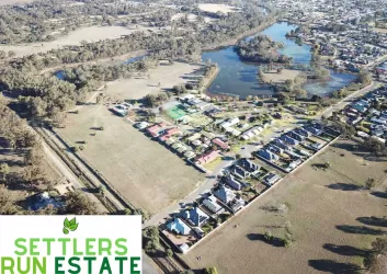
Popular Estates near Maple Crescent, Numurkah
Not exactly what you're looking for? Try surrounding suburbs
Cobram VIC 3644
9 estates | Moira Shire Council
27.7km north-east
Nathalia VIC 3638
1 estate | Moira Shire Council
25.1km west
Tallygaroopna VIC 3634
1 estate | Greater Shepparton City Council
16.4km south
Katunga VIC 3640
3 estates | Moira Shire Council
11.0km north
Barooga NSW 3644
1 estate | Berrigan Shire Council
31.3km north-east
Shepparton North VIC 3631
4 estates | Greater Shepparton City Council
27.3km south
Latest published articles


FAQs about Maple Crescent, Numurkah VIC 3636
Maple Crescent, Numurkah VIC 3636 consists of 86 homes.
The total area for Maple Crescent, Numurkah VIC 3636 is 6.63 hectares.
Maple Crescent, Numurkah VIC 3636 falls under Moira Shire Council.
Nearby schools for Maple Crescent, Numurkah VIC 3636:
- Numurkah Secondary College - 694m north-west
- St Joseph's School - 984m south-west
- Numurkah Primary School - 1.1km south-west
- Wunghnu Primary School - 7.9km south
- Katunga Primary School - 9.3km north