
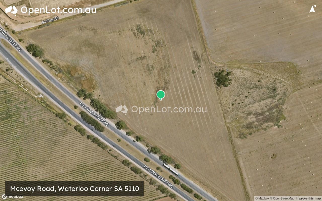
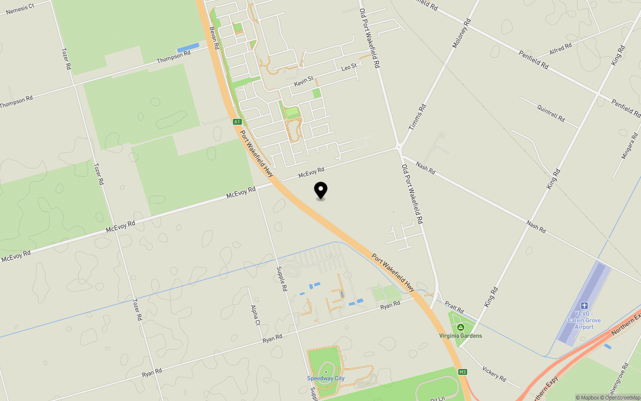
Location & Map for Mcevoy Road, Waterloo Corner SA 5110
Schools near Mcevoy Road, Waterloo Corner SA 5110
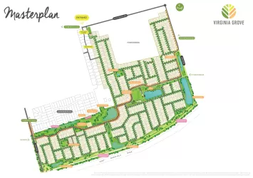
Overview
This information is estimated by the OpenLot research team. Let us know here to provide up-to-date information about this development.
| Total new homes | |
| Area Size | 10.30 hectares |
| Growth Region | Adelaide North Growth Areas |
| City Council | City of Playford |
| Developer | N/A |
| Distance to |
Updates for Mcevoy Road, Waterloo Corner

Popular Estates near Mcevoy Road, Waterloo Corner


Not exactly what you're looking for? Try surrounding suburbs
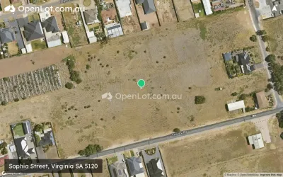
Virginia SA 5120
6 estates | City of Playford
4.6km north
Buckland Park SA 5120
0 estates
7.9km north-west
Paralowie SA 5108
5 estates | City of Salisbury
6.2km south-east
Salisbury North SA 5108
2 estates | City of Salisbury
6.7km south-east
Burton SA 5110
1 estate | City of Salisbury
4.3km south-east
Riverlea Park SA 5120
1 estate | City of Playford
7.2km north-west
Latest published articles


FAQs about Mcevoy Road, Waterloo Corner SA 5110
Mcevoy Road, Waterloo Corner SA 5110 consists of 150 homes.
The total area for Mcevoy Road, Waterloo Corner SA 5110 is 10.30 hectares.
Mcevoy Road, Waterloo Corner SA 5110 falls under City of Playford.
Mcevoy Road, Waterloo Corner SA 5110 is 27 km north of Adelaide CBD.
Nearby schools for Mcevoy Road, Waterloo Corner SA 5110:
- Virginia Primary School - 2.3km north
- Burton Primary School - 7.2km south-east
- Lake Windemere B-6 School - 8.3km south-east
- Settlers Farm Campus R-6 - 8.7km south-east
- Angle Vale Primary School - 9.4km north-east
- Paralowie School - 9.4km south-east