
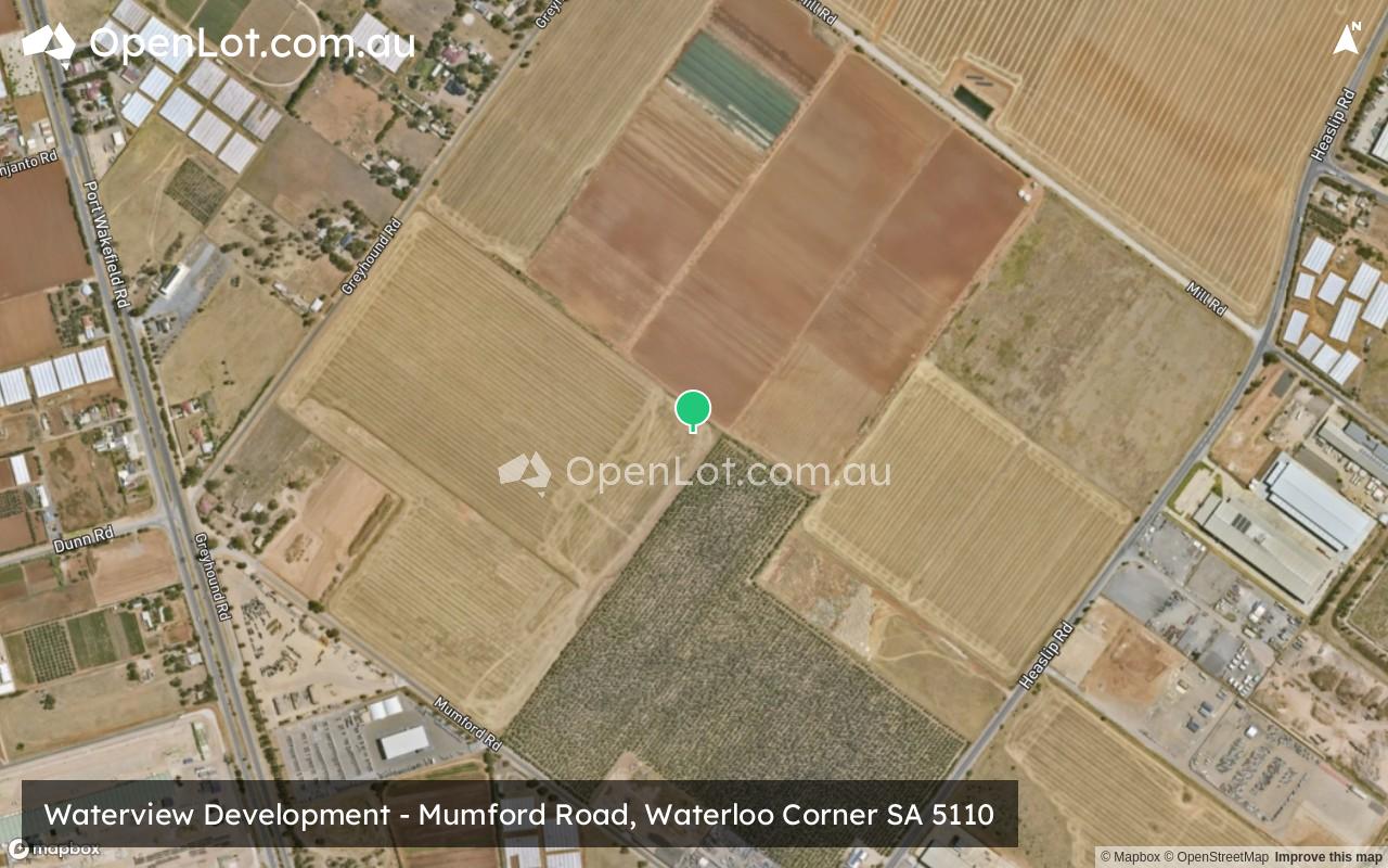
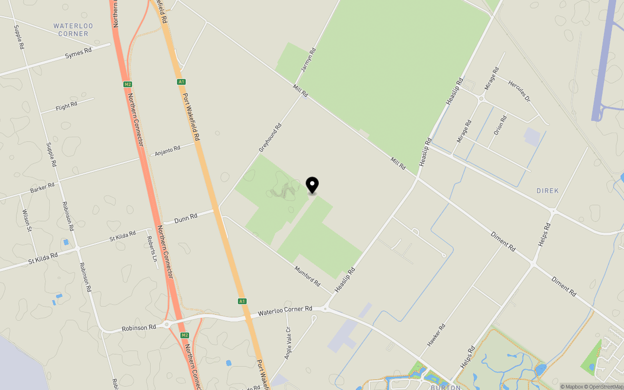
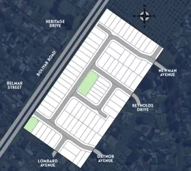
Location & Map for Waterview Development - Waterloo Corner
Schools near Waterview Development - Waterloo Corner
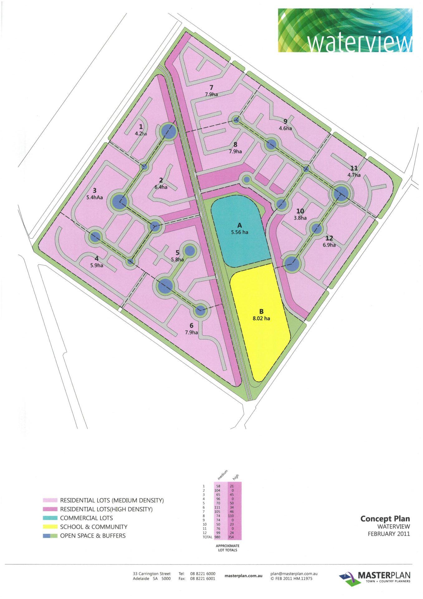
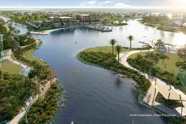
Overview
This information is estimated by the OpenLot research team. Let us know here to provide up-to-date information about this development.
| Total new homes | |
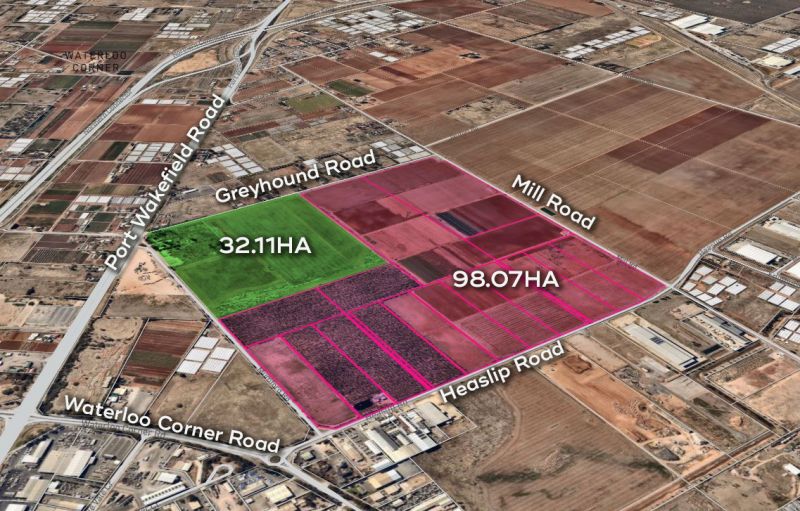
| Area Size | 130.18 hectares |
| Growth Region | Adelaide North Growth Areas |
| City Council | City of Salisbury |
| Developer | N/A |
| Distance to |
Updates for Waterview Development - Waterloo Corner

Popular Estates near Waterview Development - Waterloo Corner


Not exactly what you're looking for? Try surrounding suburbs
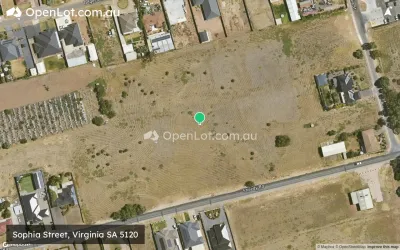
Virginia SA 5120
6 estates | City of Playford
4.6km north
Buckland Park SA 5120
0 estates
7.9km north-west
Paralowie SA 5108
5 estates | City of Salisbury
6.2km south-east
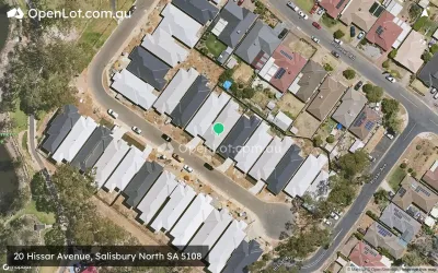
Salisbury North SA 5108
2 estates | City of Salisbury
6.7km south-east
Burton SA 5110
1 estate | City of Salisbury
4.3km south-east
Riverlea Park SA 5120
1 estate | City of Playford
7.2km north-west
Latest published articles


FAQs about Waterview Development - Waterloo Corner
The total area for Waterview Development - Waterloo Corner is 130.18 hectares.
Waterview Development - Waterloo Corner falls under City of Salisbury.
Waterview Development - Waterloo Corner is 22 km north of Adelaide CBD.
Nearby schools for Waterview Development - Waterloo Corner:
- Burton Primary School - 2.2km south-east
- Lake Windemere B-6 School - 3.4km south-east
- Settlers Farm Campus R-6 - 3.7km south
- Paralowie School - 4.4km south-east
- Bethany Christian School Incorporated - 4.5km south
- Riverdale Primary School - 5.3km south-east