
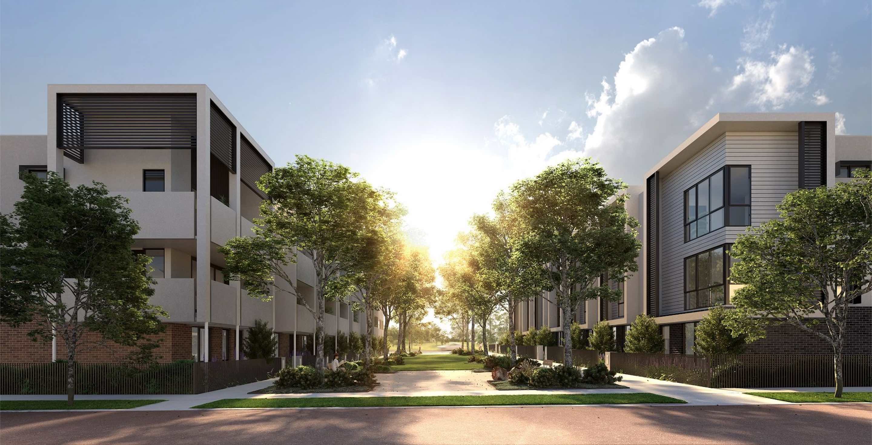
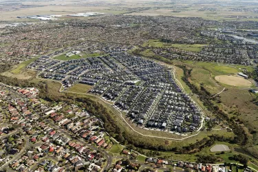
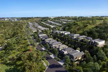
St. A Estate - St Albans


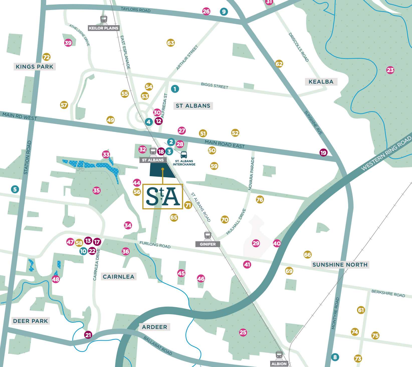
- Walking distance to St Albans Train Station & restaurants
- Only 16km north from Melbourne CBD
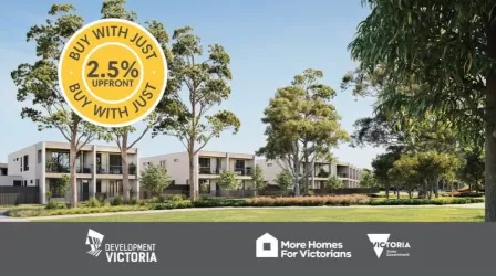
- *T&Cs apply. Available on Stage 9 and 10 Only. Subject to eligibility.
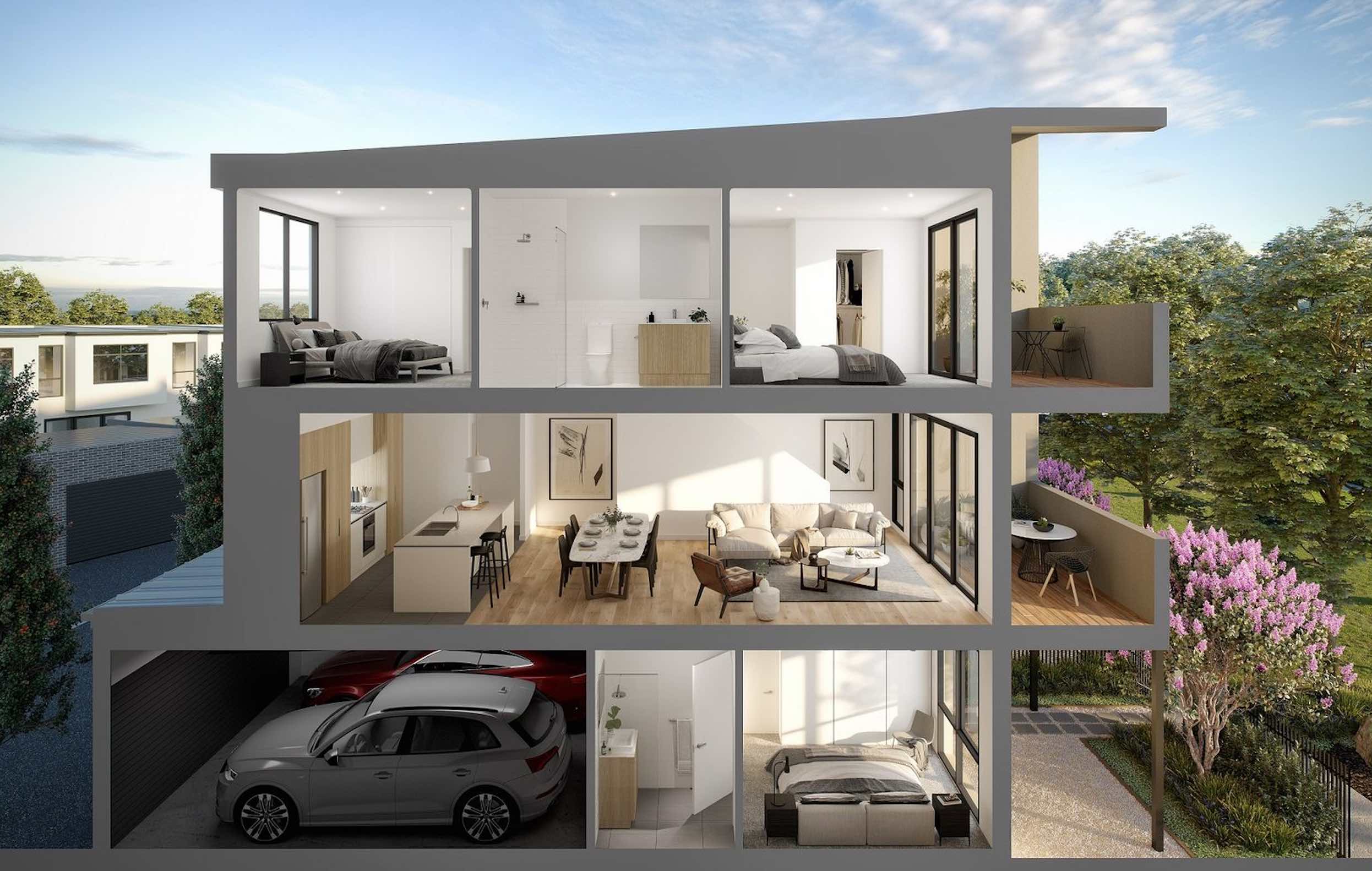
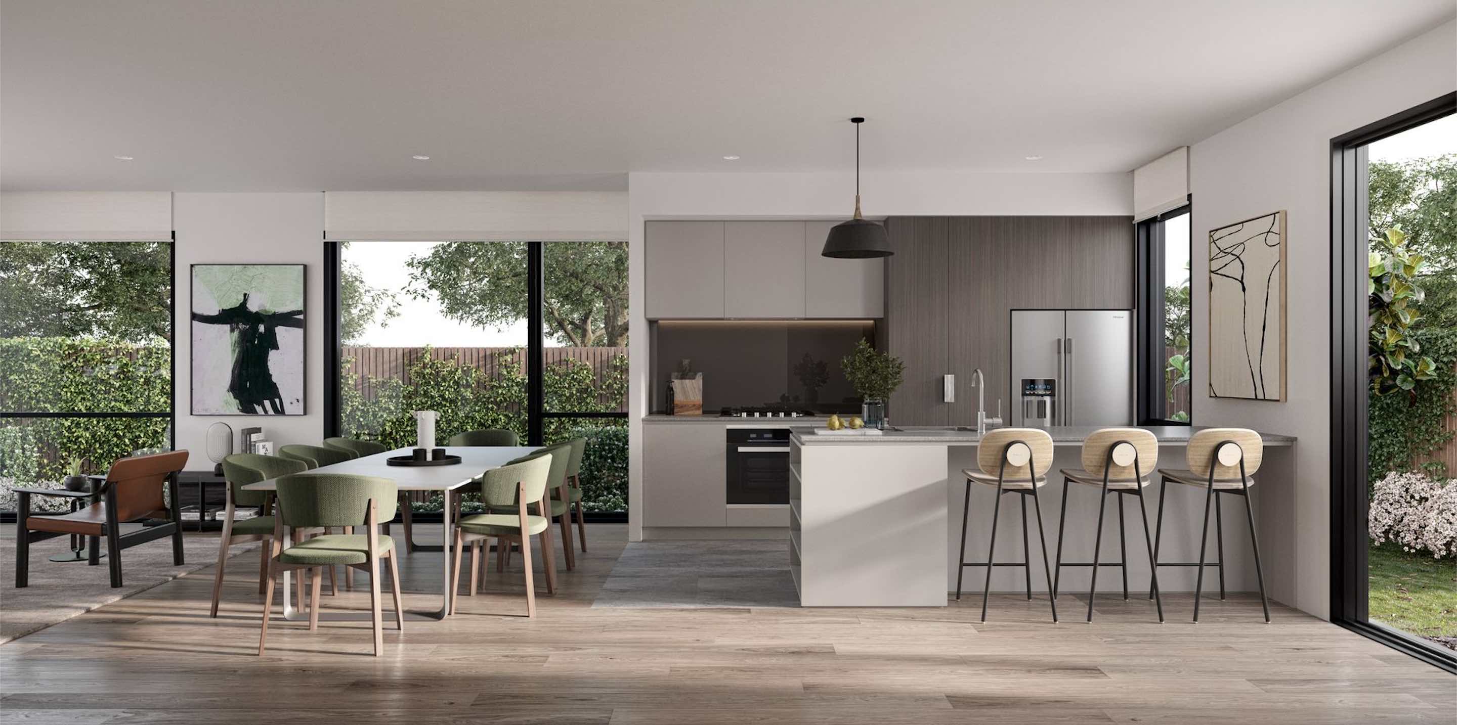
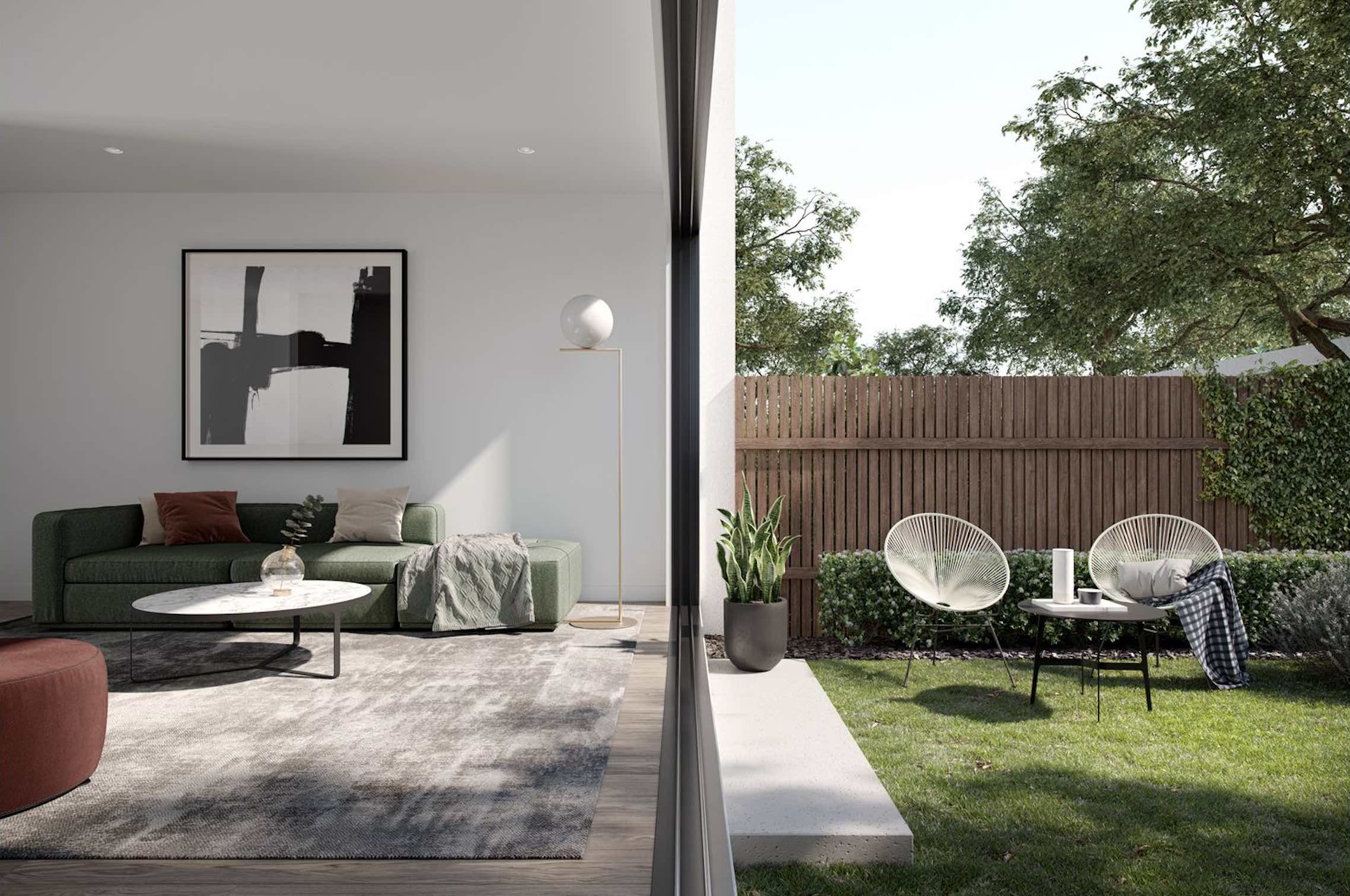
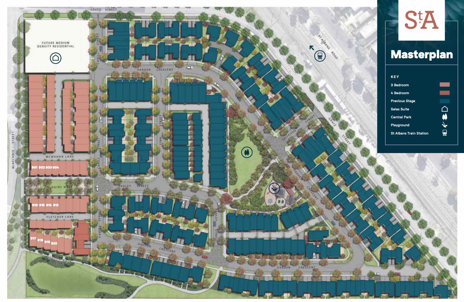
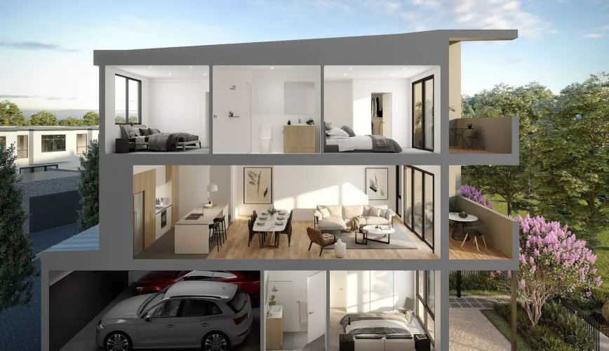
Property types for sale
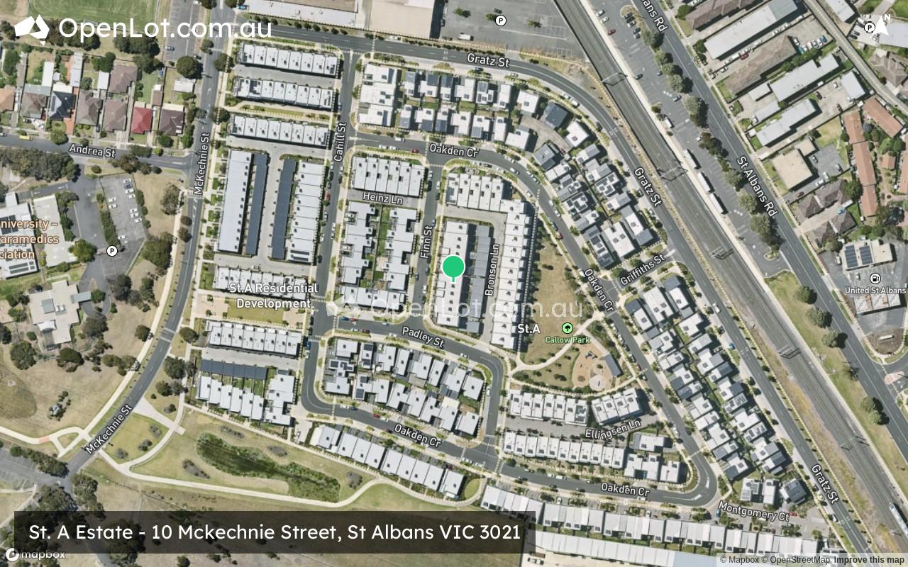
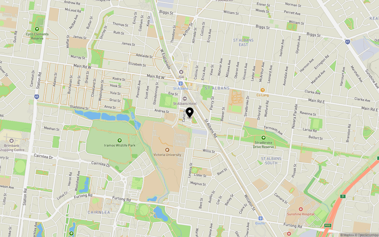
Location & Map for St. A Estate - St Albans
Schools near St. A Estate - St Albans
St. A St Albans Video
Overview
This information is estimated by the OpenLot research team. Let us know here to provide up-to-date information about this development.
| Total new homes | |
| Area Size | 6.50 hectares |
| Growth Region | Melbourne West Growth Corridor |
| City Council | Brimbank City Council |
| Developer | Cedar Woods Properties |
| Creative Agency | League Agency |
| Distance to |
Updates for St. A Estate - St Albans
Land Price Trend in St Albans VIC 3021
Below shows the price trend from vacant land sales recorded in St Albans VIC 3021.
The data and information provided by Terralytics (Aust) Pty Ltd (Terralytics Data) is general in nature and is not intended to constitute professional advice. Read more
It should not be relied upon as a substitute for legal, financial, valuation, or other specialist advice relevant to your specific circumstances.
Terralytics uses commercially reasonable endeavours to ensure the Terralytics Data is current and accurate. However, as the Terralytics Data incorporates information sourced from third parties, Terralytics makes no representation or warranty — express or implied — as to its accuracy, completeness, or currency. To the maximum extent permitted by applicable law, Terralytics excludes all liability for any loss or damage (including consequential loss) arising out of or in connection with reliance on the Terralytics Data, whether arising in contract, tort (including negligence), statute, or otherwise.
Popular Estates near St. A Estate - St Albans

Not exactly what you're looking for? Try surrounding suburbs
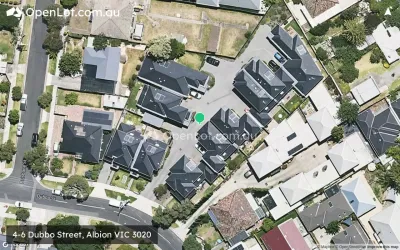
Albion VIC 3020
2 estates | Brimbank City Council
3.7km south-east
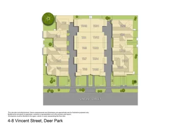
Deer Park VIC 3023
1 estate | Brimbank City Council
3.0km south-west
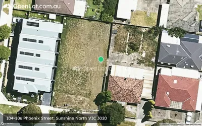
Sunshine North VIC 3020
5 estates | Brimbank City Council
4.4km south-east
Burnside VIC 3023
2 estates | Melton City Council
3.2km west
Keilor Downs VIC 3038
1 estate | Brimbank City Council
3.1km north
Cairnlea VIC 3023
1 estate | Brimbank City Council
1.3km south-west
Latest published articles


FAQs about St. A Estate - St Albans
Cedar Woods Properties is the developer behind St. A Estate - St Albans.
St. A Estate - St Albans consists of 254 homes.
The total area for St. A Estate - St Albans is 6.50 hectares.
St. A Estate - St Albans falls under Brimbank City Council.
St. A Estate - St Albans is 16 km north-west of Melbourne CBD.
Nearby schools for St. A Estate - St Albans:
- St Albans Secondary College - 643m north-east
- University Park Primary School - 744m south
- St Albans Heights Primary School - 767m east
- St Albans East Primary School - 1.0km north-east
- Catholic Regional College St Albans - 1.0km north
- St Albans Primary School - 1.2km north-west