Request pricing
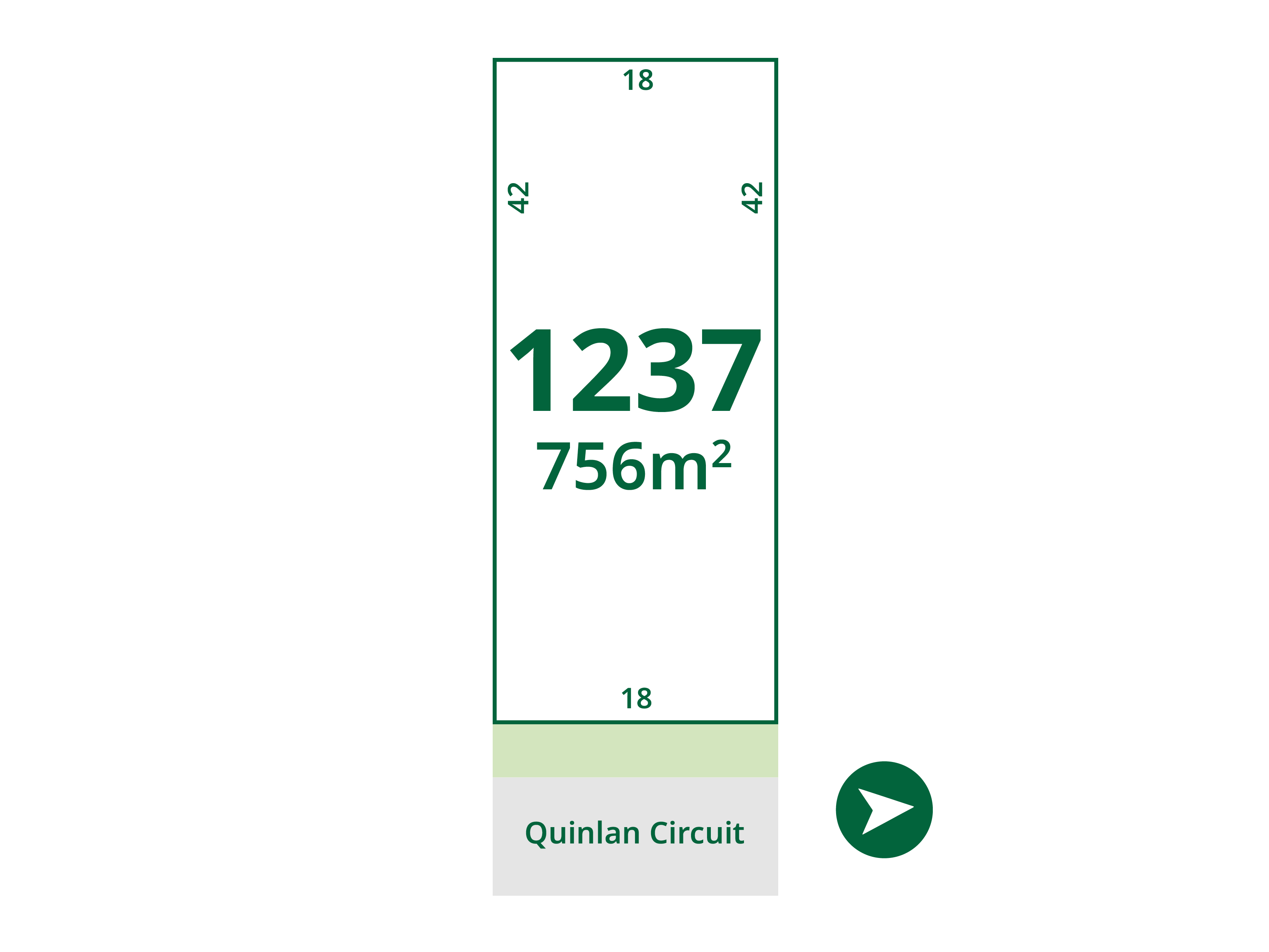
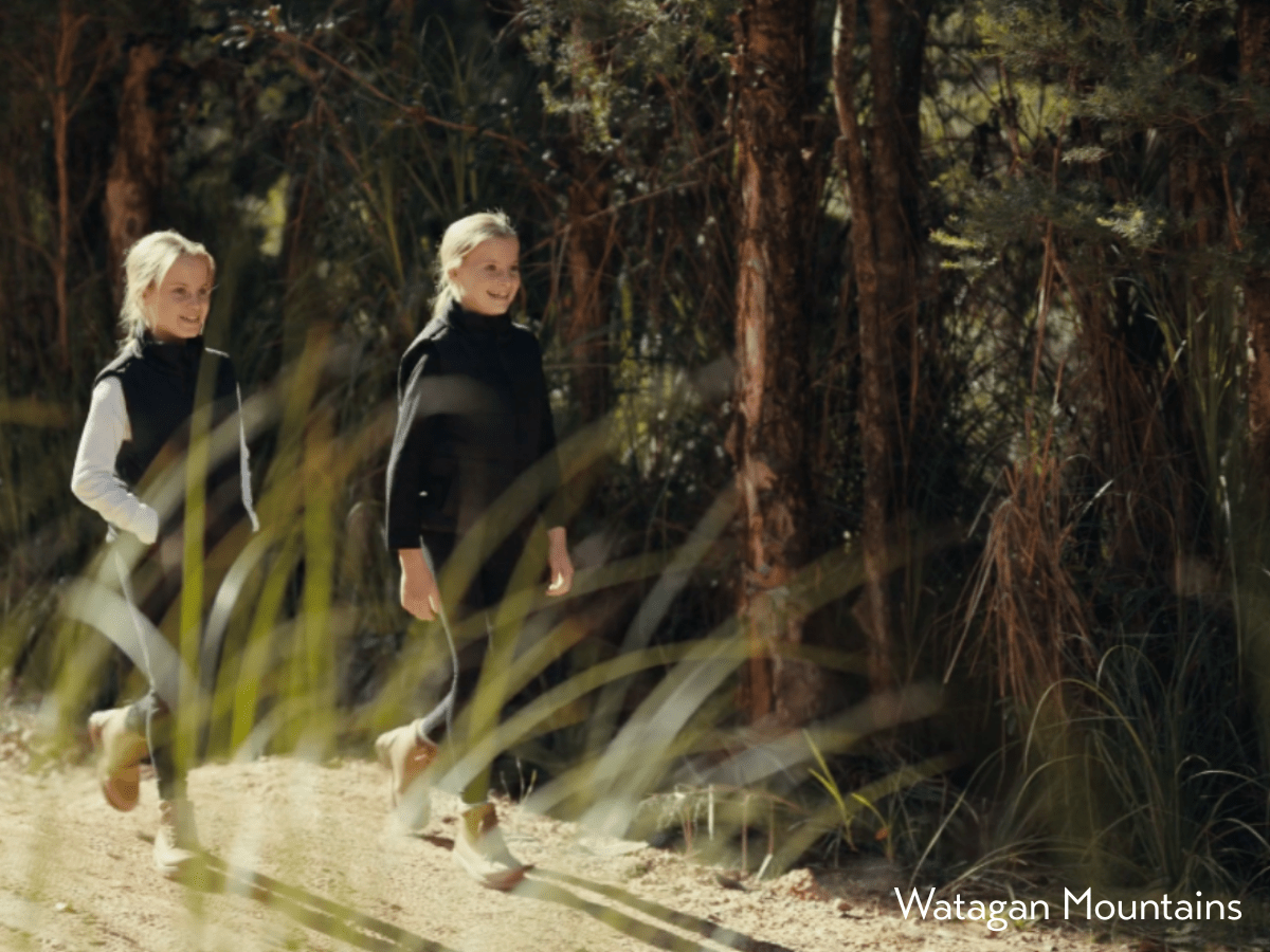
Lot 1237 @ Watagan Park Estate
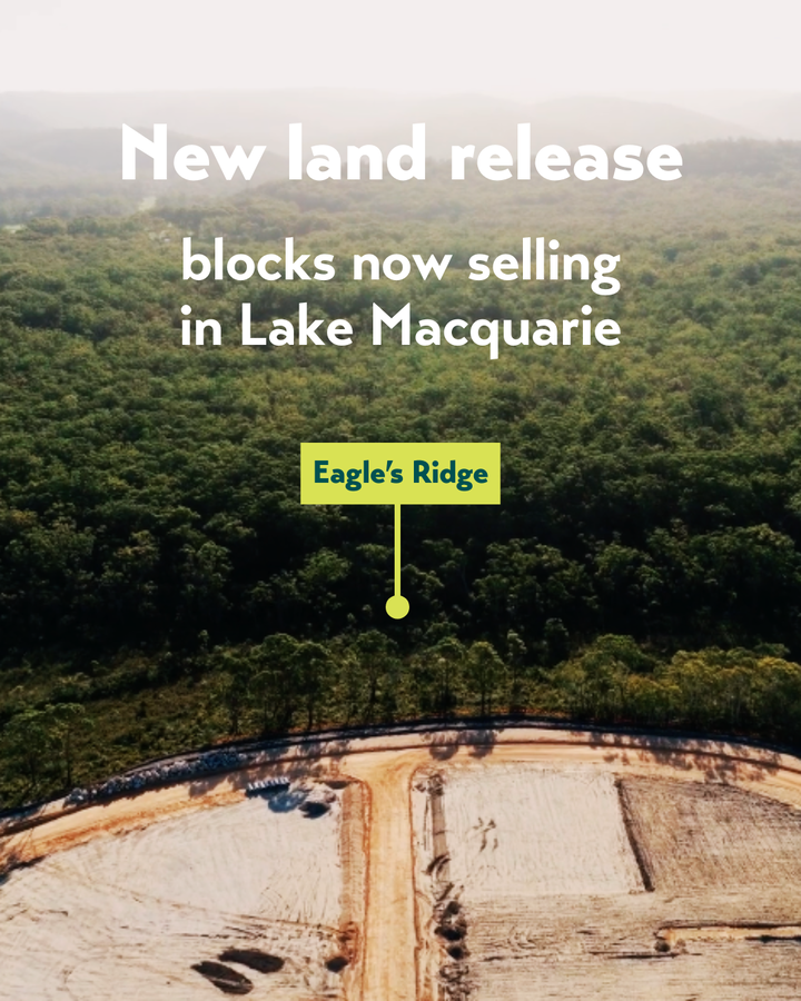


[NEW RELEASE] Eagle's Ridge available now!
Contact our Sales team for more info.
Property overview
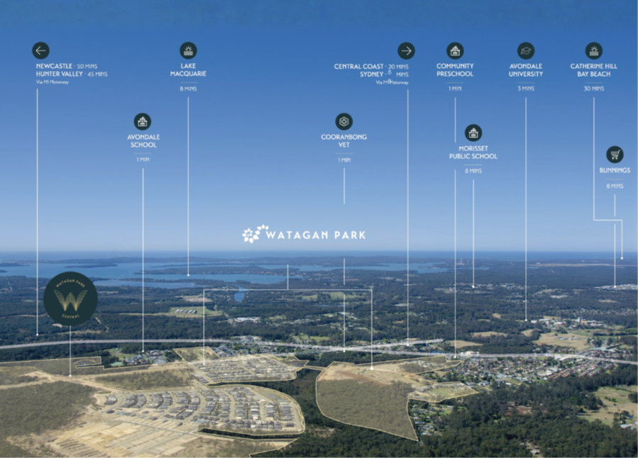
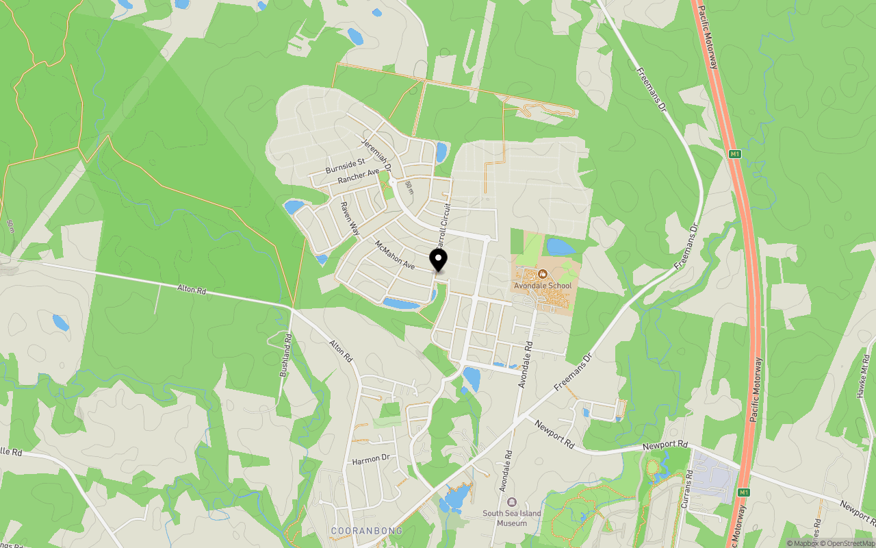
Local Information in Cooranbong NSW 2265
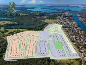
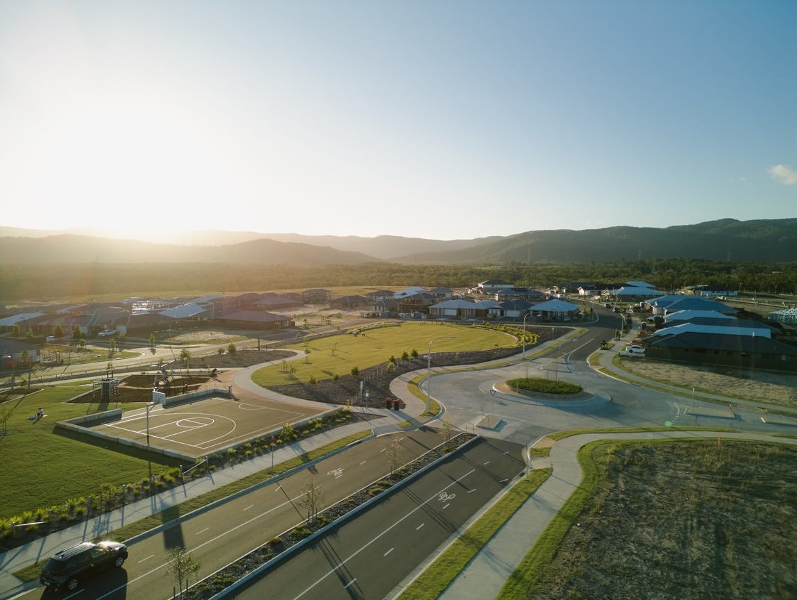
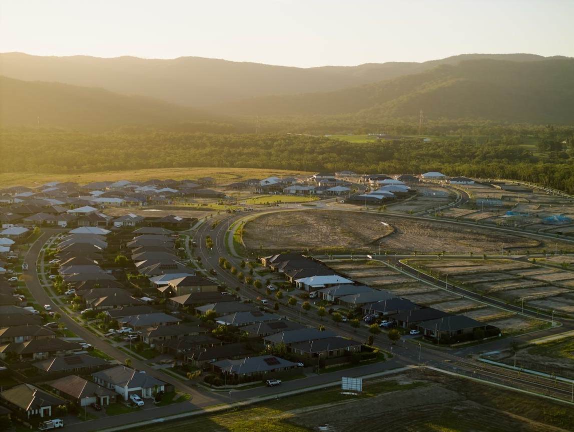
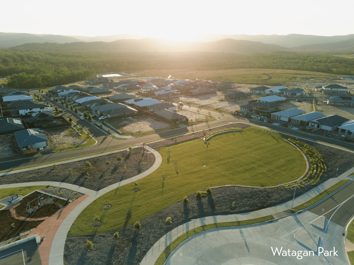
23 Land Lots in Watagan Park Estate - Cooranbong
3 House and Land Packages in Watagan Park Estate - Cooranbong
7 Display Homes in Watagan Park Estate Display Village - Cooranbong
Watagan Park Cooranbong Video
Estate Overview
This information is estimated by the OpenLot research team. Let us know here to provide up-to-date information about this development.
| Total new homes | |
| Area Size | 356.00 hectares |
| Growth Region | Greater Newcastle Growth Areas (The Hunter Region) |
| City Council | Lake Macquarie City Council |
| Developer | Johnson Property Group |
| Distance to | |
| OpenLot Offer | $200 Cashback |
Nearby schools in Watagan Park Estate - Cooranbong
FAQs about Watagan Park Estate - Cooranbong
Johnson Property Group is the developer behind Watagan Park Estate - Cooranbong.
Watagan Park Estate - Cooranbong consists of 2,500 homes.
The total area for Watagan Park Estate - Cooranbong is 356.00 hectares.
Watagan Park Estate - Cooranbong falls under Lake Macquarie City Council.
Watagan Park Estate - Cooranbong is 34 km south-west of Newcastle CBD.
Nearby schools for Watagan Park Estate - Cooranbong:
- Avondale School - 584m east
- Cooranbong Public School - 2.6km south-west
- Dora Creek Public School - 4.2km south-east
- Morisset Public School - 5.3km south-east
- Morisset High School - 5.4km south-east
- St John Vianney Primary School - 5.8km south-east
Land Price Trend in Cooranbong NSW 2265
Below shows the price trend from vacant land sales recorded in Cooranbong NSW 2265.
The data and information provided by Terralytics (Aust) Pty Ltd (Terralytics Data) is general in nature and is not intended to constitute professional advice. Read more
It should not be relied upon as a substitute for legal, financial, valuation, or other specialist advice relevant to your specific circumstances.
Terralytics uses commercially reasonable endeavours to ensure the Terralytics Data is current and accurate. However, as the Terralytics Data incorporates information sourced from third parties, Terralytics makes no representation or warranty — express or implied — as to its accuracy, completeness, or currency. To the maximum extent permitted by applicable law, Terralytics excludes all liability for any loss or damage (including consequential loss) arising out of or in connection with reliance on the Terralytics Data, whether arising in contract, tort (including negligence), statute, or otherwise.
Vacancy Rate in Cooranbong NSW 2265
View full vacancy rate history in Cooranbong NSW 2265 via SQM Research