
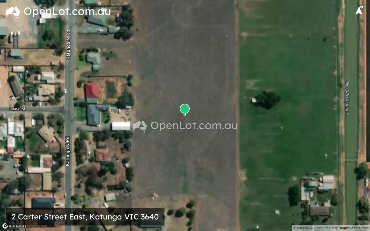
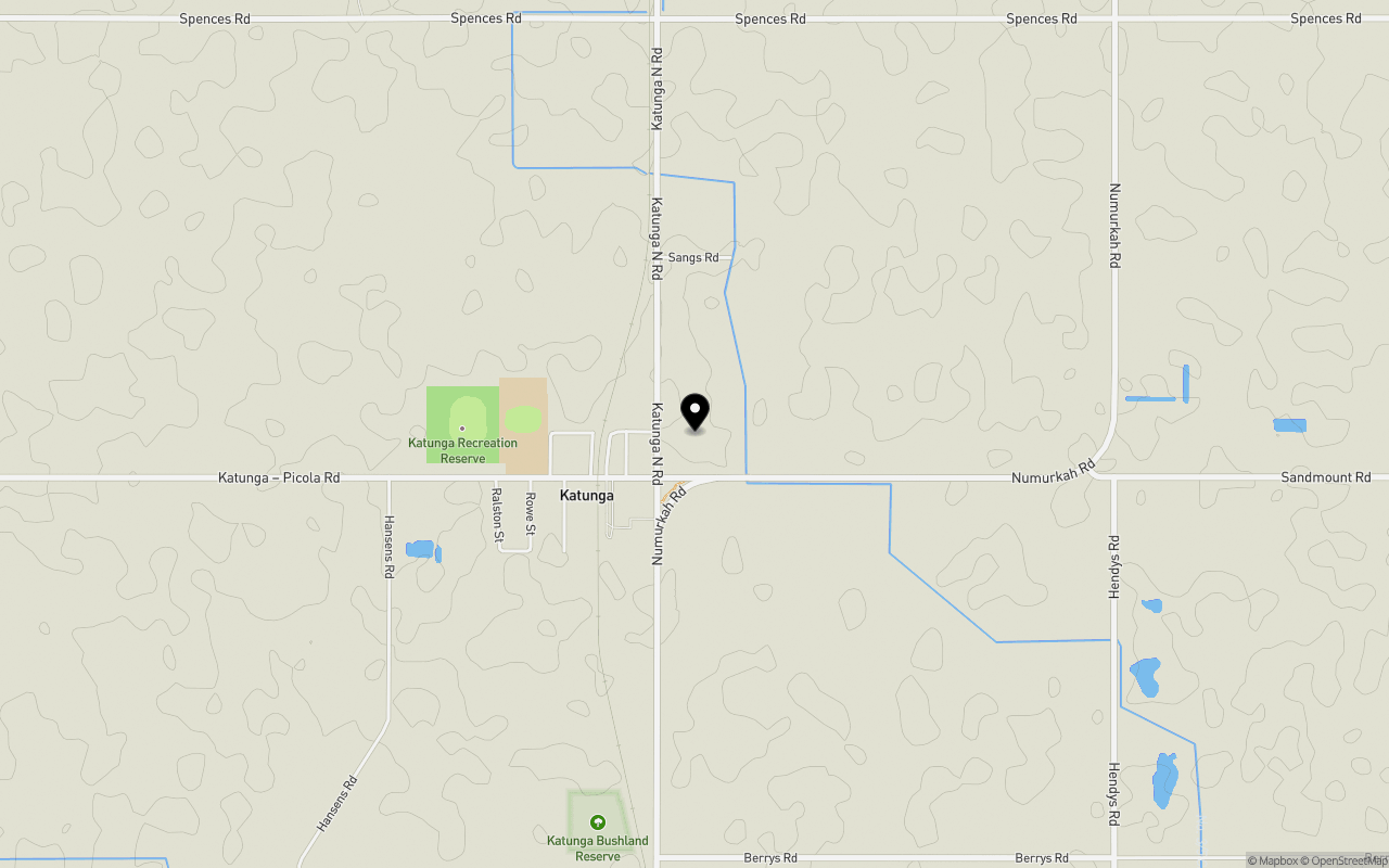
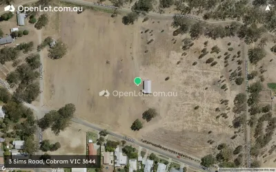
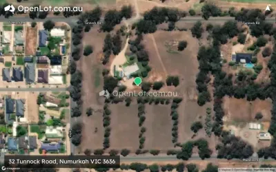
Location & Map for 2 Carter Street East, Katunga VIC 3640
Schools near 2 Carter Street East, Katunga VIC 3640
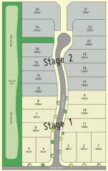
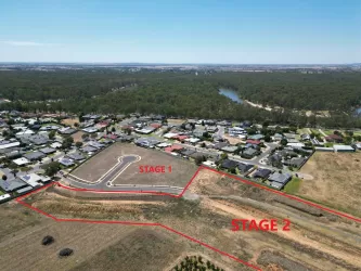
Overview
This information is estimated by the OpenLot research team. Let us know here to provide up-to-date information about this development.
| Total new homes | |
| Area Size | 3.74 hectares |
| City Council | Moira Shire Council |
| Developer | N/A |
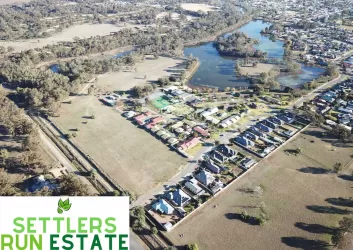
Popular Estates near 2 Carter Street East, Katunga


Not exactly what you're looking for? Try surrounding suburbs
Cobram VIC 3644
9 estates | Moira Shire Council
20.3km north-east
Numurkah VIC 3636
10 estates | Moira Shire Council
11.0km south
Nathalia VIC 3638
1 estate | Moira Shire Council
27.2km west
Tallygaroopna VIC 3634
1 estate | Greater Shepparton City Council
27.4km south
Tocumwal NSW 2714
1 estate | Berrigan Shire Council
23.9km north
Barooga NSW 3644
1 estate | Berrigan Shire Council
24.3km north-east
Latest published articles


FAQs about 2 Carter Street East, Katunga VIC 3640
2 Carter Street East, Katunga VIC 3640 consists of 13 homes.
The total area for 2 Carter Street East, Katunga VIC 3640 is 3.74 hectares.
2 Carter Street East, Katunga VIC 3640 falls under Moira Shire Council.
Nearby schools for 2 Carter Street East, Katunga VIC 3640:
- Katunga Primary School - 569m west
- Strathmerton Primary School - 8.3km north
- Numurkah Secondary College - 9.3km south
- St Joseph's School - 10.0km south
- Numurkah Primary School - 10.4km south