
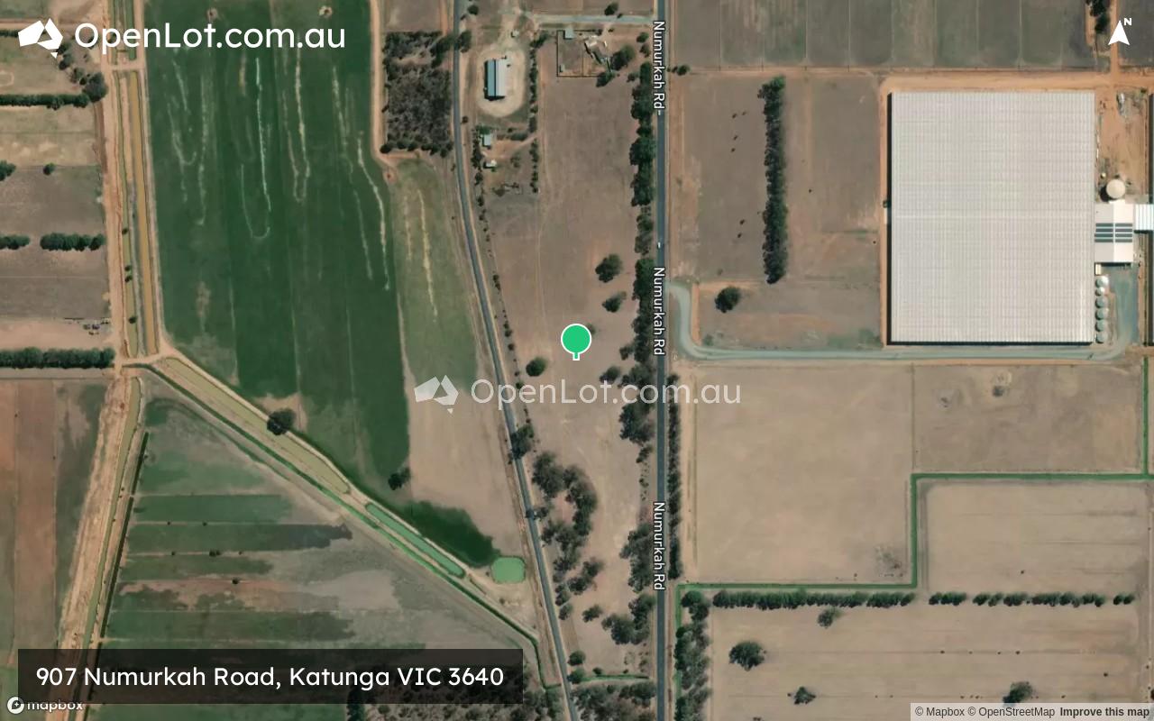
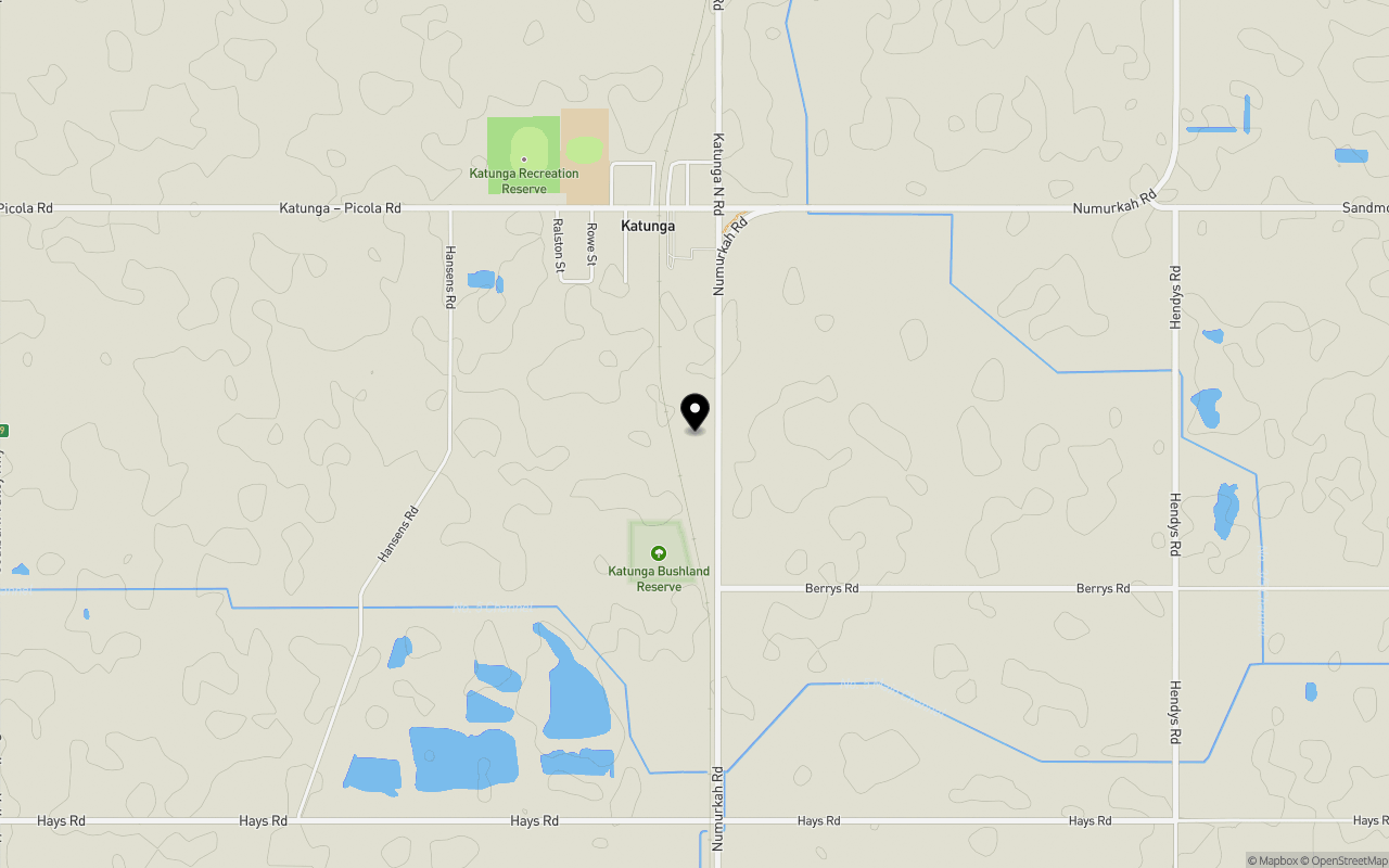
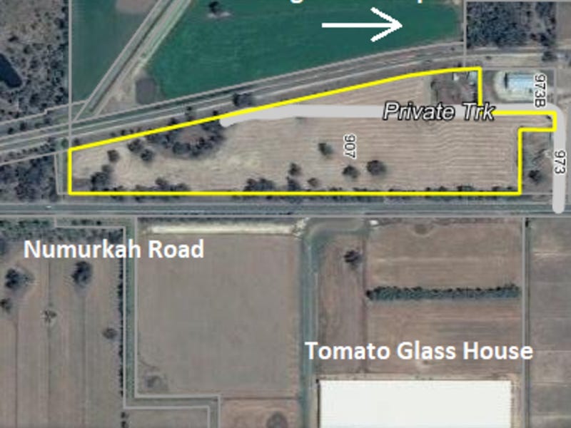
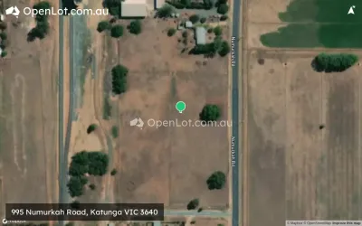
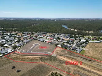
Location & Map for 907 Numurkah Road, Katunga VIC 3640
Schools near 907 Numurkah Road, Katunga VIC 3640
Overview
This information is estimated by the OpenLot research team. Let us know here to provide up-to-date information about this development.
| Total new homes | |
| Area Size | 7.28 hectares |
| City Council | Moira Shire Council |
| Developer | N/A |
Updates for 907 Numurkah Road, Katunga
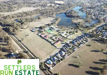
Popular Estates near 907 Numurkah Road, Katunga


Not exactly what you're looking for? Try surrounding suburbs
Cobram VIC 3644
9 estates | Moira Shire Council
20.3km north-east
Numurkah VIC 3636
10 estates | Moira Shire Council
11.0km south
Nathalia VIC 3638
1 estate | Moira Shire Council
27.2km west
Tallygaroopna VIC 3634
1 estate | Greater Shepparton City Council
27.4km south
Tocumwal NSW 2714
1 estate | Berrigan Shire Council
23.9km north
Barooga NSW 3644
1 estate | Berrigan Shire Council
24.3km north-east
Latest published articles


FAQs about 907 Numurkah Road, Katunga VIC 3640
907 Numurkah Road, Katunga VIC 3640 consists of 14 homes.
The total area for 907 Numurkah Road, Katunga VIC 3640 is 7.28 hectares.
907 Numurkah Road, Katunga VIC 3640 falls under Moira Shire Council.
Nearby schools for 907 Numurkah Road, Katunga VIC 3640:
- Katunga Primary School - 929m north
- Numurkah Secondary College - 8.3km south
- St Joseph's School - 9.0km south
- Strathmerton Primary School - 9.3km north
- Numurkah Primary School - 9.4km south